


The clear skies and cold air from the northwest will give you a chill in the morning. 7 am temperatures will fall to near freezing in spots and only mid-30s in the mildest locations. On the subject of cold, an arctic blast is on the way next week.
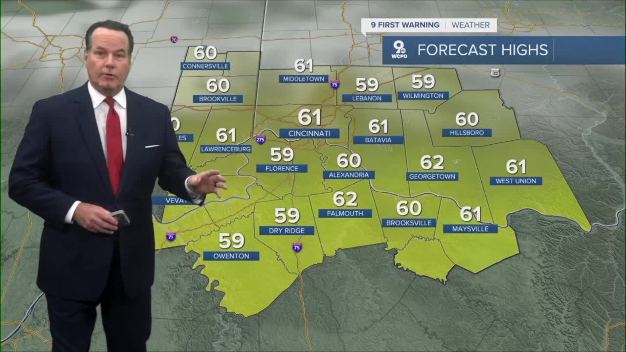
However, with southerly winds by the afternoon, highs will climb to around 60 degrees. Overall, Mother Nature will not get in the way of your civic duty on Election Day. Conditions will stay dry and seasonal for the rest of the week.
Our best rain chances will come on Friday. A substantial front will trigger heavy rain at times by midday and follow up with showers through the evening.
The bigger news is the second cold front coming in on Sunday that should get your attention! It will bring a slight rain chance, but also a blast of arctic air!
TONIGHT
Mostly clear
Chilly
Low: 35
TUESDAY
Partly to mostly sunny
High: 61
TUESDAY NIGHT
Fair skies
Dry
Low: 47
9 First Warning Weather 24/7 Livestream
==========
- Interactive Radar: Track weather to your doorstep
- Sign up for severe weather email alerts
- Check latest school closings and delays
- WCPO traffic updates
- Metro bus detours and updates (or call the hotline at 513-632-7538)
- Latest power outages from Duke Energy
- Flight cancellations and delays from CVG, other U.S. airports
