


Showers and even a few rumbles of thunder are moving into the tri-state now and will linger for our Wednesday morning. We'll see a few downpours for the morning commute and bus top, which will likely have an impact on the morning traffic.
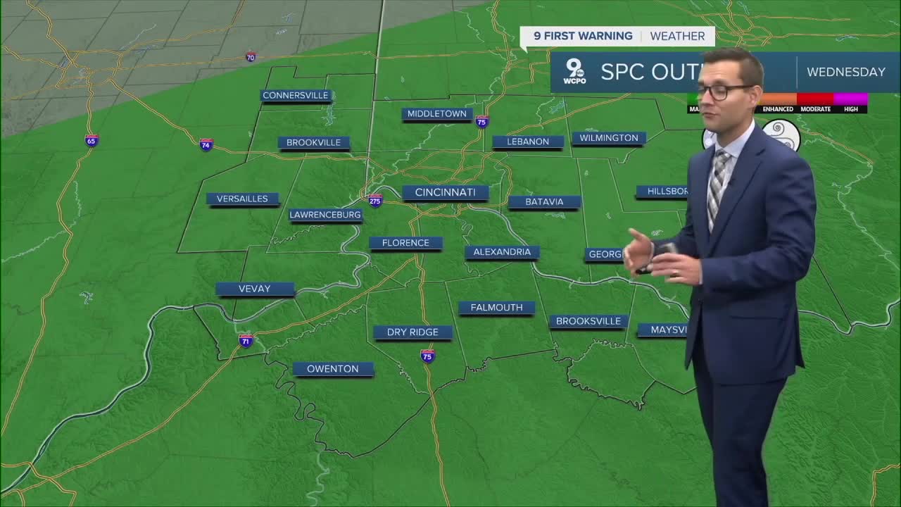
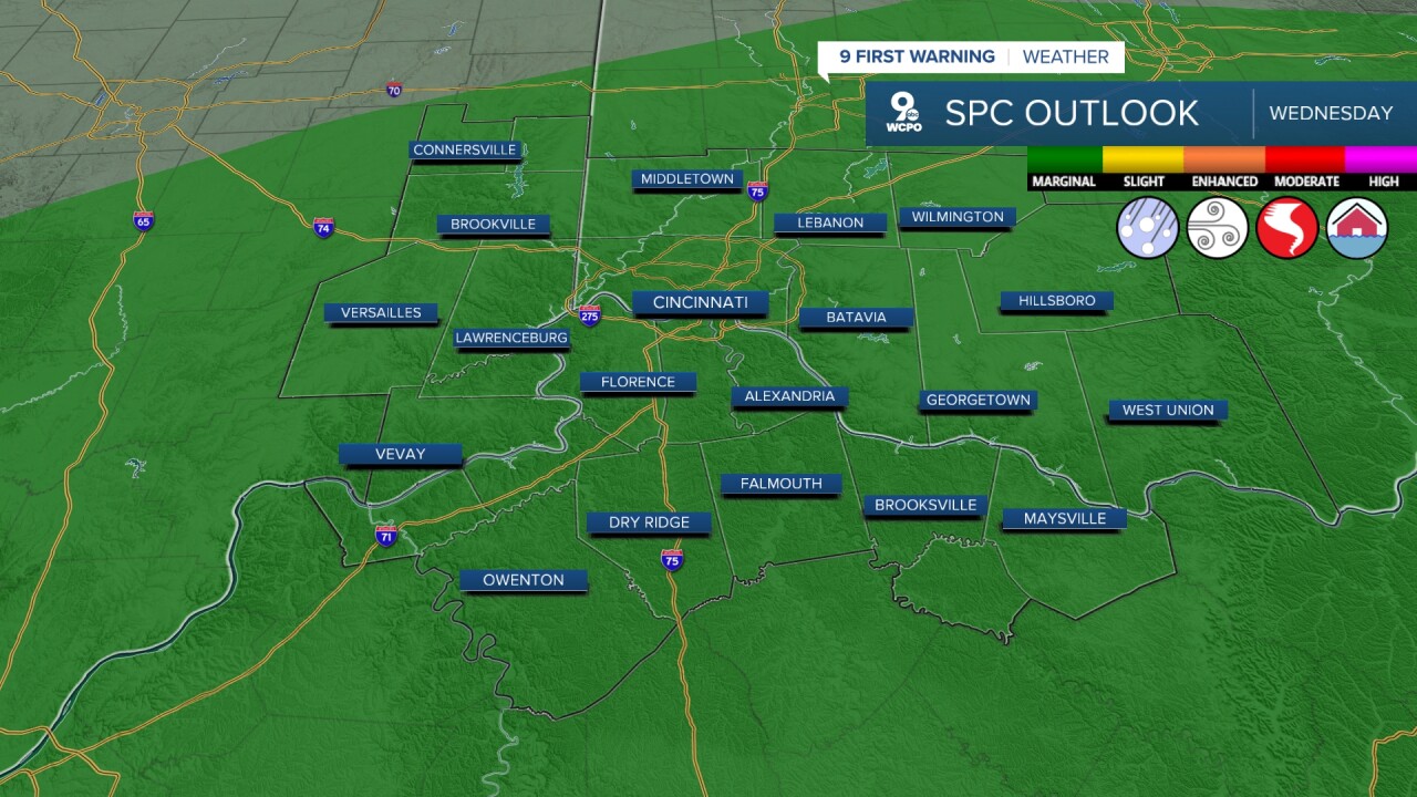
Similar to Tuesday, The Storm Prediction Center has our area in a "marginal risk" for severe storms. Currently, that focus is on a damaging wind threat.
After more widespread showers in the morning, we get a break in precipitation in the early afternoon before another round by the evening. This is when temperatures rise to the mid 70s and energy starts to build. It's in the evening hours that we'll see another round of showers and storms, and this is when severe weather could develop.

Thursday brings another chance for showers in the Tri-State. Temperatures will end up in the mid-70s and it's another dreary day for us, but much-needed rain again.
Friday's rain chance is 20% or less and highs end up in the mid 70s. It should be a nice evening for our Friday night football games!
TONIGHT
Mostly cloudy
Isolated, light rain
Low: 66
WEDNESDAY
Scattered showers
A few strong to severe storms possible
High: 76
WEDNESDAY NIGHT
Spotty showers
A few storms
Low: 65
9 First Warning Weather 24/7 Livestream
==========
- Interactive Radar: Track weather to your doorstep
- Sign up for severe weather email alerts
- Check latest school closings and delays
- WCPO traffic updates
- Metro bus detours and updates (or call the hotline at 513-632-7538)
- Latest power outages from Duke Energy
- Flight cancellations and delays from CVG, other U.S. airports
