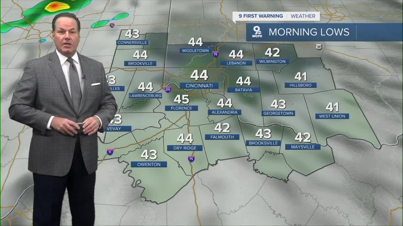


Another wonderful Fall day on Thursday as highs reached seasonal temps in the upper 50s around the Tri-State. Clouds are increasing, and we'll be mostly cloudy by daybreak with morning lows in the mid to upper 40s. Then, two cold fronts will bring different forms of precipitation through the weekend.

The first cold front will be weak and carry only a limited amount of moisture, but will produce gusty winds to 25-30 mph. So, spotty showers will be more prevalent in the afternoon as it stays mild in the low 60s.
Clearing will happen early into the evening and stay clear into Saturday, which looks pleasant with highs back in the low 60s. However, the second cold front on Saturday night will carry a punch.

First, a couple of showers are possible, but more importantly, this will unleash arctic cold air into Sunday, where highs will drop about 20 degrees! So, a bit of moisture shows on Sunday night, and that could be a mix or flurries.

Moreover, the strong northwest winds could scoop up some moisture from Lake Michigan and deposit a couple of snow showers over us on Monday. At the moment, it's possible that we could see a dusting over the grassy spots. Stay tuned!
OVERNIGHT
Clouding up
Milder
Low: 44
FRIDAY
Rain likely
High: 64
FRIDAY NIGHT
Clouds early then
Clearing out
Low: 45
9 First Warning Weather 24/7 Livestream
==========
- Interactive Radar: Track weather to your doorstep
- Sign up for severe weather email alerts
- Check latest school closings and delays
- WCPO traffic updates
- Metro bus detours and updates (or call the hotline at 513-632-7538)
- Latest power outages from Duke Energy
- Flight cancellations and delays from CVG, other U.S. airports
