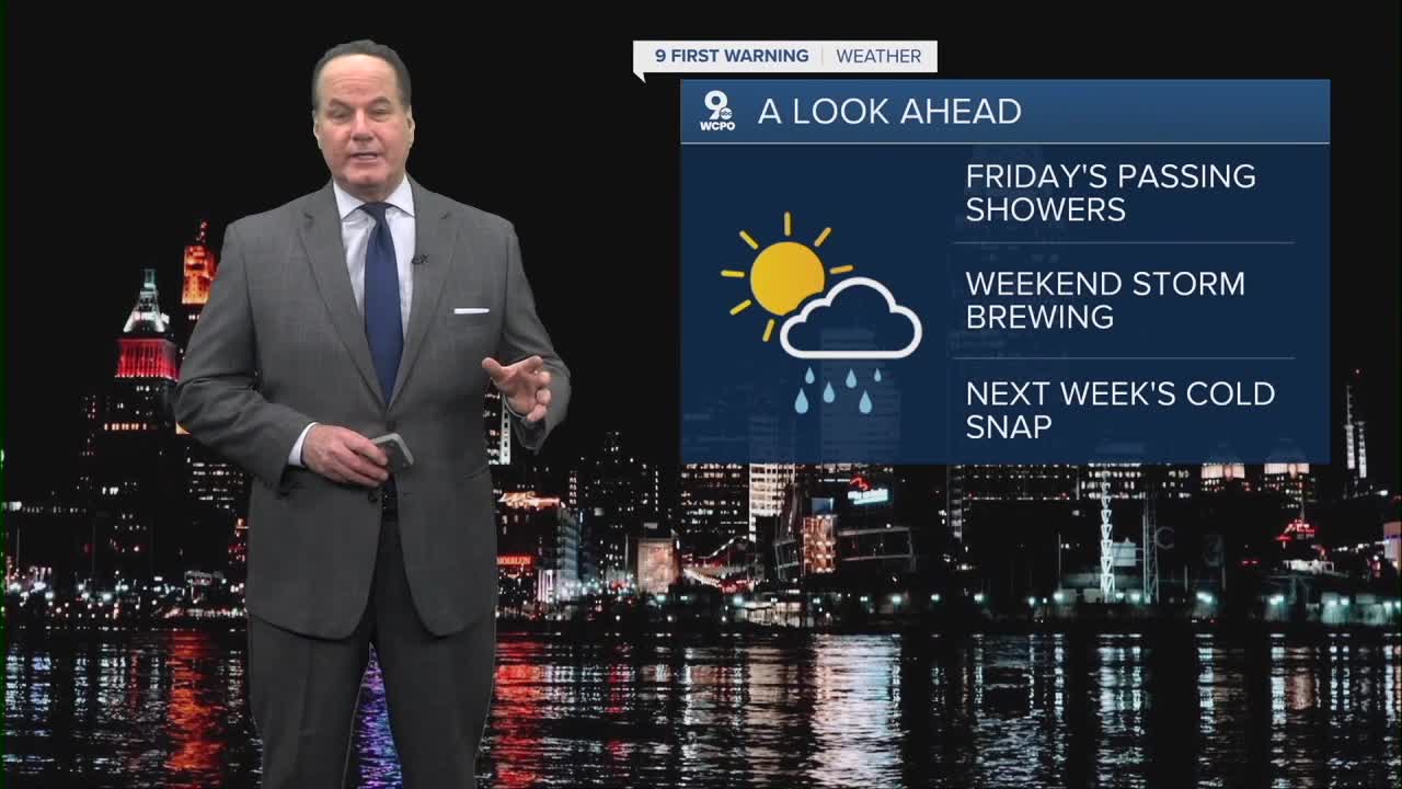


A pretty active stretch of weather is ahead for us as we head into the middle of March.
We’ll see clouds increasing right into the overnight as lows will drop to the mid to upper 30s. So, Friday morning will likely start with a lot of clouds and the chance for a few spotty showers just ahead of daybreak.
While the skies clear with plenty of sunshine for the rest of the day, the big story will be the winds. A WIND ADVISORY is out for gusts up to 50mph! Temperatures on Friday afternoon should reach the mid to upper 50s, which is fairly comfortable for this time of year.
Saturday looks like a nice day to start the weekend. Expect a mix of clouds and sunshine with highs staying in the 50s. It should feel fairly mild and calm for most of the day. Sunday, while mostly cloudy, will be even milder as afternoon highs reach the 70s!. So, if you have outdoor plans, that may be the best window of the entire forecast.

Things begin to change on Sunday night as a stronger storm system and cold front approach the Tri-State. Rain chances become more likely later Sunday night and especially Monday morning. This front will bring a noticeable change in the air mass behind it, with colder temperatures moving in quickly.

By Monday, the weather will feel much more like winter again. Temperatures will struggle to reach 40 degrees. There could even be a few flurries or light snow showers around the region as colder air settles in. The chill will really show up Monday night when temperatures drop into the teens, as we begin next week with a reminder that winter isn’t quite finished yet!
OVERNIGHT
Clouding up
Slight rain chance
Low: 38
FRIDAY
Partly cloudy
Milder with high winds
Gusts to 50 mph
High: 58
FRIDAY NIGHT
Partly cloudy
Chilly again
Low: 34
9 First Warning Weather 24/7 Livestream
==========
- Interactive Radar: Track weather to your doorstep
- Sign up for severe weather email alerts
- Check latest school closings and delays
- WCPO traffic updates
- Metro bus detours and updates (or call the hotline at 513-632-7538)
- Latest power outages from Duke Energy
- Flight cancellations and delays from CVG, other U.S. airports
