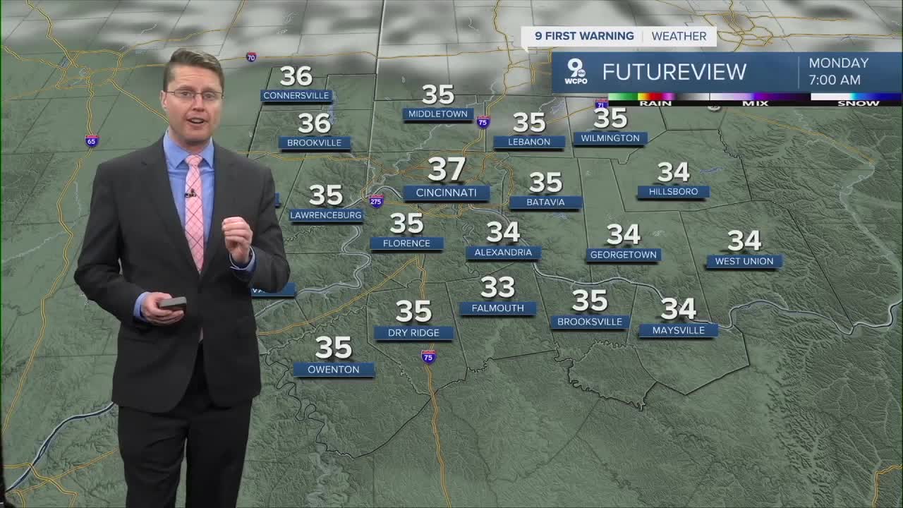


After a much cooler Easter, we get extra chilly overnight with mostly clear skies. We'll drop into the mid and upper 30s Monday morning, which is just cold enough for a couple frosty areas to form, especially outside of Cincinnati. Protect any plants you already put outside that are sensitive to the cold before heading to bed. You'll have to do this a couple more times this week too.
Monday afternoon will be mostly sunny and warmer with a high near 60 degrees. It will also be a little breezy at times in the afternoon with some wind gusts up to 25 mph.
Tuesday and Wednesday mornings will be the coldest of the week with temperatures near freezing.

Tuesday afternoon will be cooler with low 50s, but we make a nice jump into the upper 60s for Wednesday afternoon.
The warm-up continues into the low 70s Thursday with a mix of sunshine and clouds.
Friday will be mostly cloudy with at least a small chance of your backyard getting hit by a couple spotty showers. We should still be able to get into the low 70s.
The small chance for rain continues Saturday with a little more sunshine and low 70s.

Sunday looks mostly cloudy, but warmer, with upper 70s!
The 70s continue early next week with a small chance for rain again Monday and Tuesday.
OVERNIGHT
Mostly clear
Frost possible
Low: 37
MONDAY
Mostly sunny
Pleasant
High: 60
MONDAY NIGHT
Mostly clear
Frost
Low: 33
TUESDAY
Mostly sunny
Cooler
High: 52
9 First Warning Weather 24/7 Livestream
==========
- Interactive Radar: Track weather to your doorstep
- Sign up for severe weather email alerts
- Check latest school closings and delays
- WCPO traffic updates
- Metro bus detours and updates (or call the hotline at 513-632-7538)
- Latest power outages from Duke Energy
- Flight cancellations and delays from CVG, other U.S. airports
