


Talk about a nice change in the forecast for those looking for a break in the heat and humidity.
Now that drier air is in place, the ability to cool down more at night is maximized. Tonight we'll cool to 58, but this is just the start to our cooler nights.
Monday will be mostly sunny and pleasant. Temperatures warm to 75 in the afternoon hours. Winds will be coming in from the northwest at 5 to 10 mph. You will not notice humidity. And it's been a while since we've been able to say that!
Temperatures drop even more on Monday night. We'll cool to 54 degrees in the metro area, the low 50s outside of town.
This week is more of a preview of what we'll see in late September. It appears that highs will remain in the mid to upper 70s throughout the week and potentially rise back up to 80 for Labor Day weekend.
And when it comes to rain, there is nothing minor or major to talk about for the next 9 days.
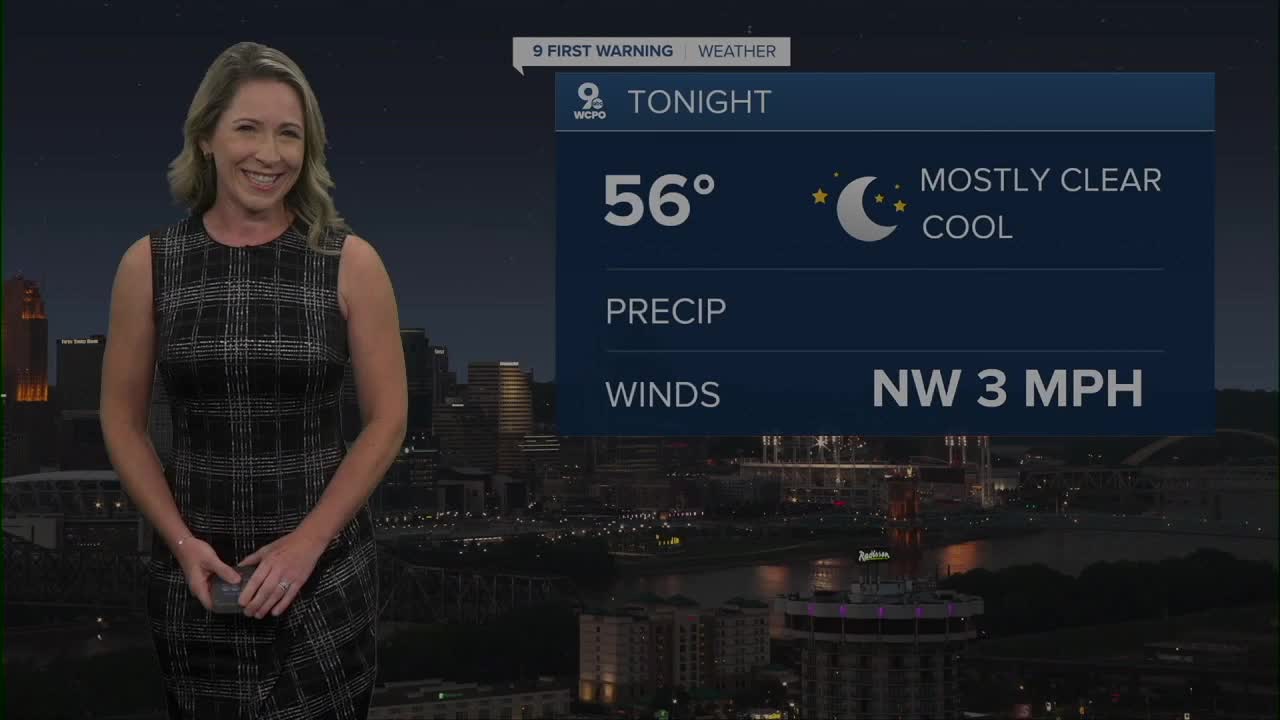
TONIGHT
Mostly clear
Cool
Low: 56
MONDAY
Mostly sunny
Comfortable
High: 78
MONDAY NIGHT
Mostly clear
Chilly
Low: 54
9 First Warning Weather 24/7 Livestream
==========
- Interactive Radar: Track weather to your doorstep
- Sign up for severe weather email alerts
- Check latest school closings and delays
- WCPO traffic updates
- Metro bus detours and updates (or call the hotline at 513-632-7538)
- Latest power outages from Duke Energy
- Flight cancellations and delays from CVG, other U.S. airports
