




TORNADO UPDATE: The National Weather Service has started to release some of the findings from its surveys of Tuesday's storm damage. Four tornadoes have been confirmed in the Tri-State so far, but only three have been rated.
Pierce Township area of Clermont County, OH: EF-1 (90 mph max wind)
Area east of Feesburg in Brown County, OH: EF-0 (75 mph max wind)
Owen County, KY: No rating given yet
Near Lees Creek in Clinton County, OH: EF-0 (75 mph max wind)
FORECAST: Overnight, the Tri-State will see ideal cooling conditions, making way for some open-window weather! It will be mostly clear with low humidity and light wind, helping us drop down into the mid and upper 50s for Thursday morning.
It stays nice Thursday with upper 70s and a lot of sunshine!

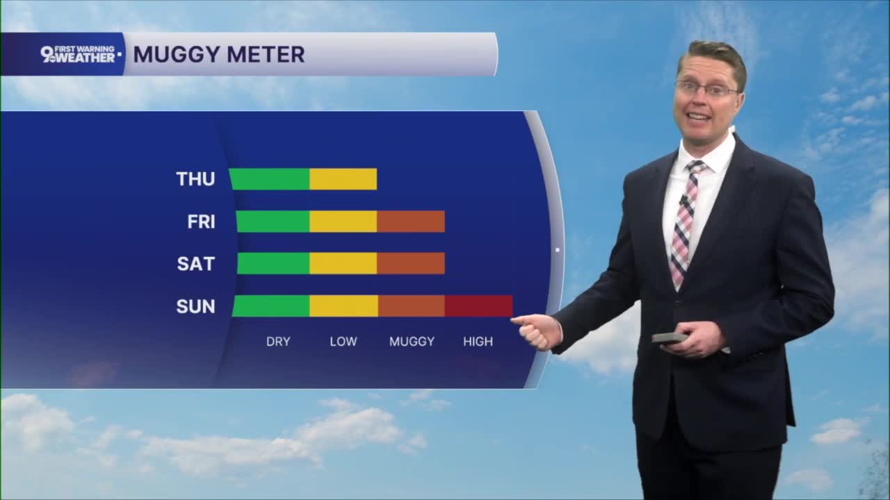
The humidity starts to increase a touch Friday, but it should still feel pretty nice for July. Highs will be in the upper 70s with a mix of sun and clouds.
It starts to feel more muggy again on Saturday as we warm into the mid 80s. Sunday will be humid with upper 80s, pushing the heat index well into the 90s.

The upper 80s continue with a small chance for rain Monday. We drop into the mid 80s for the middle of next week.
TONIGHT
Mostly clear
Cooler
Low: 57
THURSDAY
Mostly sunny
Comfy
High: 79
THURSDAY NIGHT
Mostly clear
Feeling good
Low: 59
FRIDAY
Partly cloudy
A little muggy
High: 78
9 First Warning Weather 24/7 Livestream
==========
- Interactive Radar: Track weather to your doorstep
- Sign up for severe weather email alerts
- Check latest school closings and delays
- WCPO traffic updates
- Metro bus detours and updates (or call the hotline at 513-632-7538)
- Latest power outages from Duke Energy
- Flight cancellations and delays from CVG, other U.S. airports
