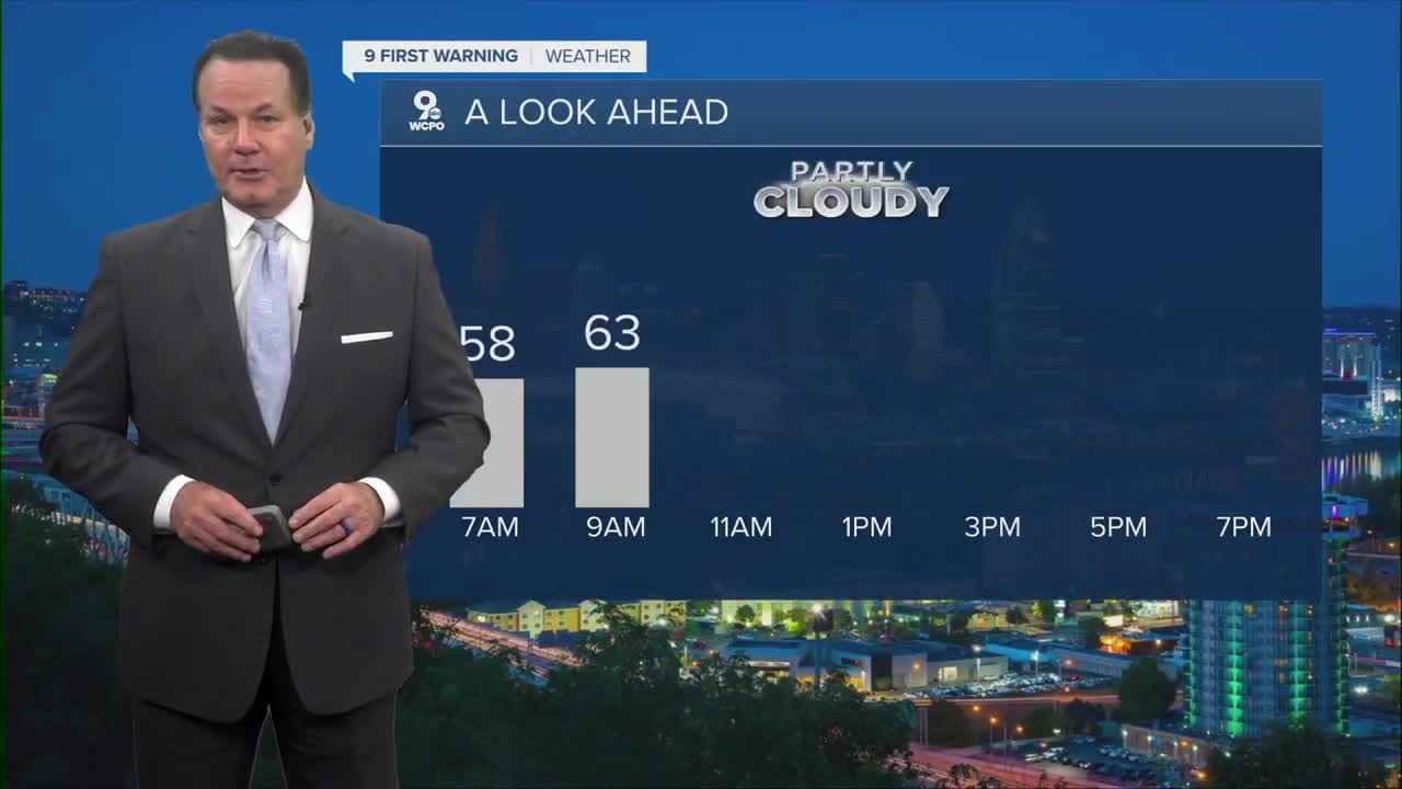


A few sprinkles and a couple of passing showers have moved through the area. Now the sky has cleared, and we'll continue with mostly clear conditions with a low of 57 degrees by daybreak.
However, we could use the wet weather. You'll notice below that the Tri-State is painted in yellow, signifying officially dry conditions, the first step toward a drought designation. Some spots from Batavia to West Union are running only 10-30% of normal rainfall.
The Greater Cincinnati communities don't have any worries right now, as the torrential rainstorms recently soaked the area.

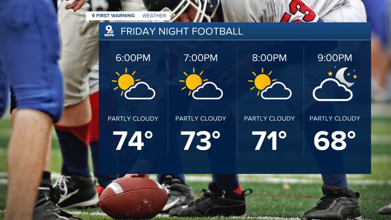
After a few morning clouds, sunshine is back, and the temperatures will push into the mid to upper 70s on Friday.
Specifically, we'll see a few clouds early and even a slight chance for sprinkles again. Then, the conditions change by mid to late morning as the sunshine comes back. If you are hitting the road for Labor Day weekend, the region is dry and rain-free.
Saturday will be mostly sunny and pleasant with a high of 75 degrees. Sunday is another ideal day. We'll top out at 78 degrees with a mostly sunny sky and the fireworks forecast looks outstanding.

OVERNIGHT
Few Clouds & patchy fog possible
Then partly cloudy
Low: 57
FRIDAY
Mostly sunny
Mild
High: 78
FRIDAY NIGHT
Few clouds
Cooler
Low: 54
9 First Warning Weather 24/7 Livestream
==========
- Interactive Radar: Track weather to your doorstep
- Sign up for severe weather email alerts
- Check latest school closings and delays
- WCPO traffic updates
- Metro bus detours and updates (or call the hotline at 513-632-7538)
- Latest power outages from Duke Energy
- Flight cancellations and delays from CVG, other U.S. airports
