


Cold again tonight as temperatures will fall into the upper 20s with mostly cloudy skies.
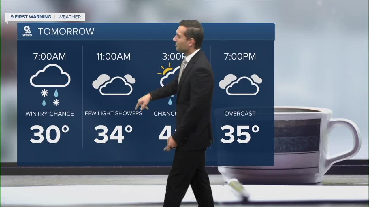
Sunday brings more clouds, but the forecast becomes a bit trickier. An area of low pressure will slide through the Ohio Valley, bringing the chance for a wintry mix on Sunday morning.
Most of us stay dry while chances for a very small amount of snow is possible in our far northern areas. Travel impacts should stay low. Afternoon temperatures near 40, again below average.

Cold air will stick around, and below-average temperatures remain the theme through all of next week.
Wednesday will be our only "warm" day as we look to be in the mid 40s. The issue is, we will be dealing with rain for most of the day.
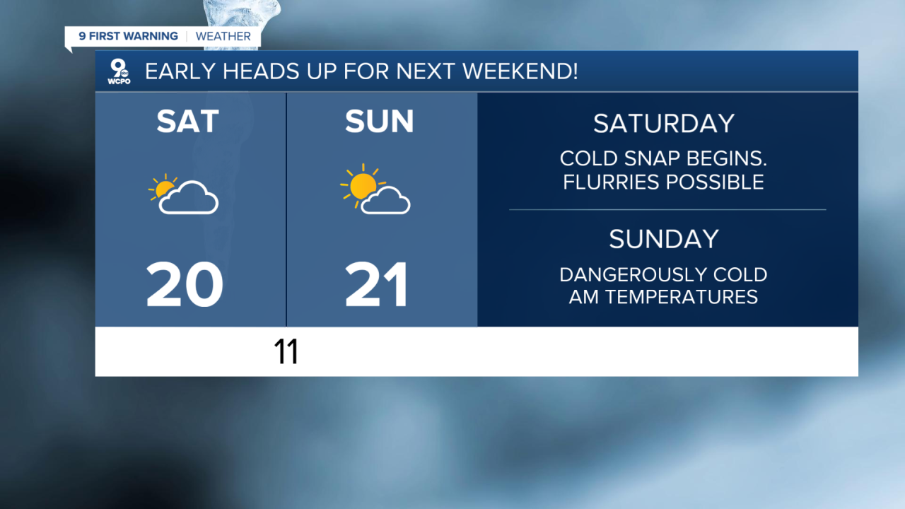
EARLY HEADS UP: The weekend will be FRIGID. Highs around 20, with overnight lows flirting with the single digits.
TONIGHT
Overcast
Flurries
Low: 26
SUNDAY
A wintry mix chance
Overcast and cold
High: 40
SUNDAY NIGHT
Rain/snow
Slight chance
Low: 18
9 First Warning Weather 24/7 Livestream
==========
- Interactive Radar: Track weather to your doorstep
- Sign up for severe weather email alerts
- Check latest school closings and delays
- WCPO traffic updates
- Metro bus detours and updates (or call the hotline at 513-632-7538)
- Latest power outages from Duke Energy
- Flight cancellations and delays from CVG, other U.S. airports
