


What a frigid start to Friday. You could call it winterlike with morning lows in many areas falling below freezing that produced widespread frost. It won't be as cold to start the weekend. Morning Lows will be in the mid to upper 30s.

A weather system to the southwest is throwing clouds our way right now. I would expect a partly to mostly cloudy start to the weekend.

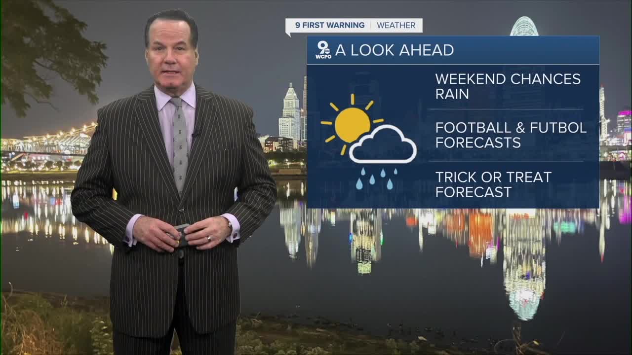
In fact, mostly cloudy skies will likely be the main feature in the forecast through Sunday.

However on Sunday, a rainmaker will skim the area, and we could see a light passing shower on Sunday morning. It's only about a 30% chance, so most communities will stay dry.
Next week, the chance for rain increases as an area of low pressure meanders around the Tri-State. The best chance will be on Tuesday and Wednesday. While it's still days away, Halloween looks dry in the 50s.
OVERNIGHT
Clouding up
Patchy frost again
Low: 38
TOMORROW
Mostly cloudy
Cool again
High: 57
TOMORROW NIGHT
Stays mostly cloudy
Low: 43
SUNDAY
Early chance for a shower
Mostly cloudy
High: 58
9 First Warning Weather 24/7 Livestream
==========
- Interactive Radar: Track weather to your doorstep
- Sign up for severe weather email alerts
- Check latest school closings and delays
- WCPO traffic updates
- Metro bus detours and updates (or call the hotline at 513-632-7538)
- Latest power outages from Duke Energy
- Flight cancellations and delays from CVG, other U.S. airports
