

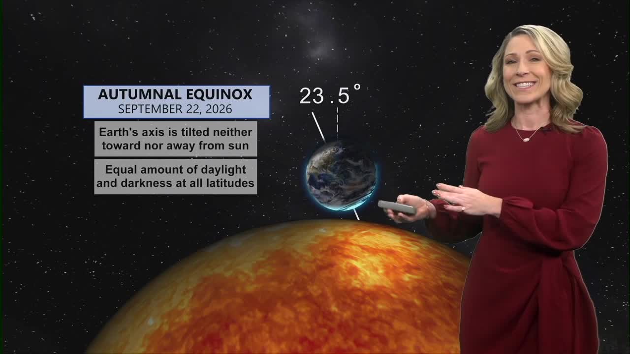


It's the first day of Fall and the forecast will certainly feel like the season has arrived.
Tuesday morning starts with a mostly cloudy sky and temperatures are in the upper 50s. We will see a lot of cloud cover today along with winds from the northeast at 5 to 10 mph. This combination keeps temperatures cool as we'll only top out at 71 degrees this afternoon.
Pollen numbers are lower today as well dropping to the "low/medium" level, even lower than yesterday.
The Fall feeling is dong to dominate the forecast for the remainder of the week. Tonight we'll cool to 60 under a cloudy sky.
Clouds are staying around tomorrow as well, giving us another dreary day. Low pressure is stalled out to our east and this keeps the cloud cover here but it also provides a small rain chance Wednesday afternoon and early evening. We should see isolated showers developing east of I-75 after 3 p.m. Wednesday. This rain activity will move from north to south.
Thursday's forecast is partly cloudy and just about perfect! We'll start the day at 59 and warm to 70 degrees with a few more rays of sunshine in our sky.
The forecast is relatively quiet for the rest of the extended forecast. I did check the latest drought monitor report and our area continues to be drought free. I also checked the fall leaf reports and we are still weeks away from beautiful Fall color. Currently, we are looking at "peak" to occur around Halloween.
MORNING RUSH
Mostly cloudy
Cooler
Low: 59
TUESDAY
Mostly cloudy
To overcast
High: 71
TUESDAY NIGHT
Overcast
Cool and dry
Low: 60
WEDNESDAY
Cloudy skies
Isolated showers, mainly east
High: 70
WEDNESDAY NIGHT
Mostly cloudy
Cool
Low: 59
9 First Warning Weather 24/7 Livestream
==========
- Interactive Radar: Track weather to your doorstep
- Sign up for severe weather email alerts
- Check latest school closings and delays
- WCPO traffic updates
- Metro bus detours and updates (or call the hotline at 513-632-7538)
- Latest power outages from Duke Energy
- Flight cancellations and delays from CVG, other U.S. airports
