


Showers are dotting the landscape of the area at the moment, and this will last until about daybreak. Morning lows will fall to the low to mid-40s.
Tuesday's forecast will be mainly just cloudy after a morning chance for drizzle. But the deck of clouds doesn't keep temperatures down. We'll end up with highs in the mid to upper 50s.
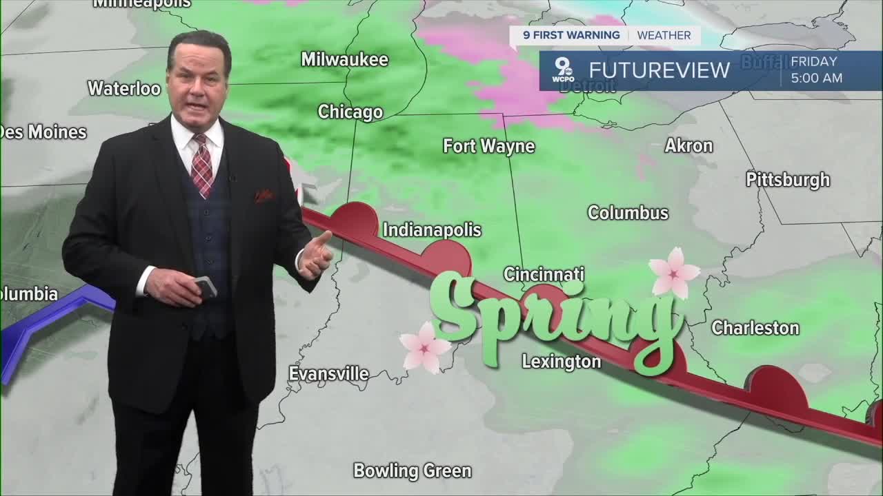
We move to Wednesday, where showers will break out once again during the evening hours and will last until early on Christmas Day. However, some indications show a chance for Northern Kentucky throughout the day. With the wet weather, highs will back back a bit near 60 degrees before rising into the low 60s for Friday and Saturday.
The weekend looks split with mostly cloudy conditions and a 30% chance on Saturday and some sunshine and cooler weather on Sunday, with highs in the low 50s.

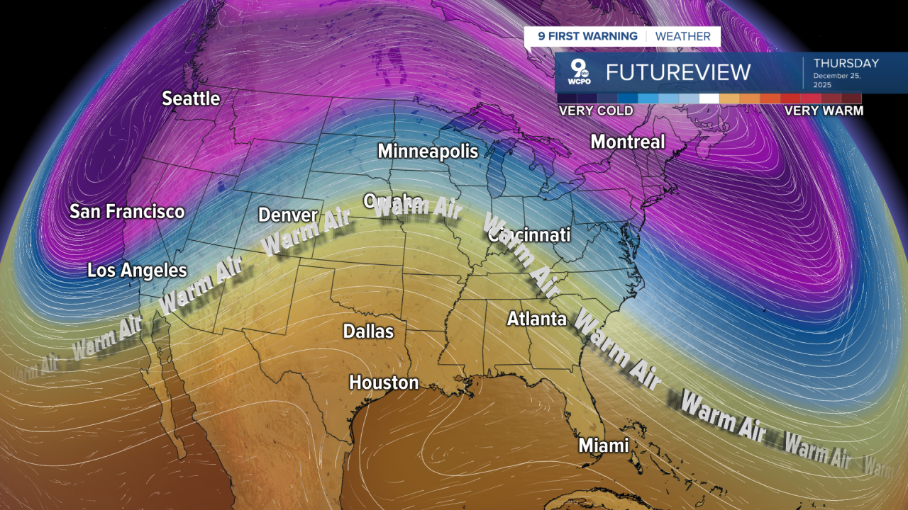
Keep this in the back of your mind. Arctic air is back next week with morning lows in the teens and highs sub-freezing.
OVERNIGHT
Chance showers
Cloudy
Low: 43
TUESDAY
Cloudy
Mild
High: 37
TUESDAY NIGHT
Partly cloudy
Mild
Low: 38
9 First Warning Weather 24/7 Livestream
==========
- Interactive Radar: Track weather to your doorstep
- Sign up for severe weather email alerts
- Check latest school closings and delays
- WCPO traffic updates
- Metro bus detours and updates (or call the hotline at 513-632-7538)
- Latest power outages from Duke Energy
- Flight cancellations and delays from CVG, other U.S. airports
