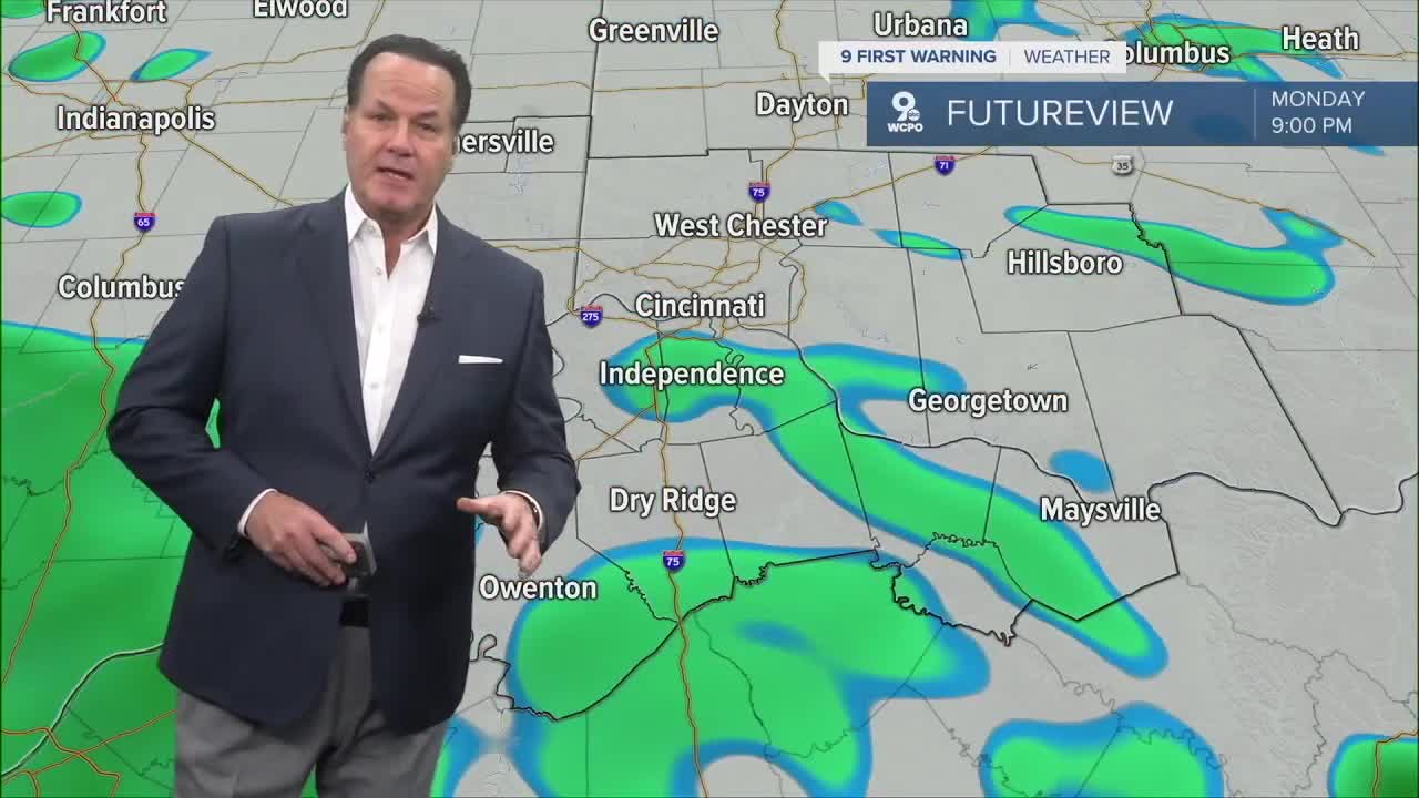


Hit and miss light rain is moving into the Tri-State. Scattered rain will become more common by daybreak, with heavy rain at times.
These heavier pockets of rain will likely slow down the morning commute. We'll start the day in the upper 40s.
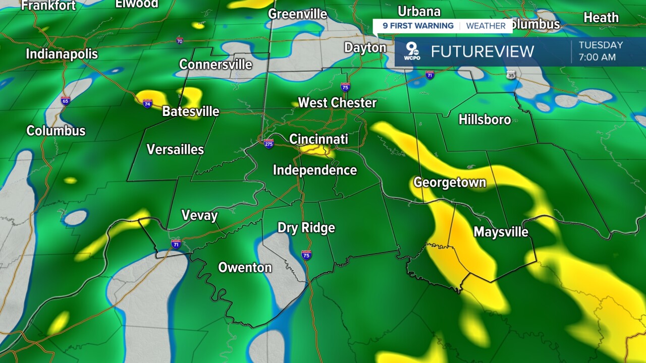
The rain starts to break apart in the afternoon, giving way to a lot more dry time, but there will still be some hit-and-miss lighter rain around throughout the day. While the roads still may be wet by the evening drive, you shouldn't be facing constant showers like in the morning. Highs on Tuesday end up around 60.
Once the cold front passes, colder air will take over, and you'll feel it on Wednesday. It'll be what I like to call a "flip-flop day. We start the day with mild air, but we'll eventually slide into the low 40s. Of course, Wednesday is a big travel day, and roads will be dry with mostly cloudy skies.
Colder air will really take over Thanksgiving Day! Temperatures top out in the upper 30s; at least we'll have sunny skies, and Friday looks fine too.
The clouds are back on Saturday with the upper 30s. Early in the day, we could see a few snow showers or areas of a rain/snow mix. Rain will be more likely Saturday night and into Sunday morning.
OVERNIGHT
Rain
Steady temperatures
Low: 49
TUESDAY
Widespread early
Spotty showers in the afternoon
High: 60
TUESDAY NIGHT
Mostly cloudy
Spotty rain
Morning: 48
WEDNESDAY
Mostly cloudy
Spotty rain early
Falling temperatures
Afternoon: 43
9 First Warning Weather 24/7 Livestream
==========
- Interactive Radar: Track weather to your doorstep
- Sign up for severe weather email alerts
- Check latest school closings and delays
- WCPO traffic updates
- Metro bus detours and updates (or call the hotline at 513-632-7538)
- Latest power outages from Duke Energy
- Flight cancellations and delays from CVG, other U.S. airports
