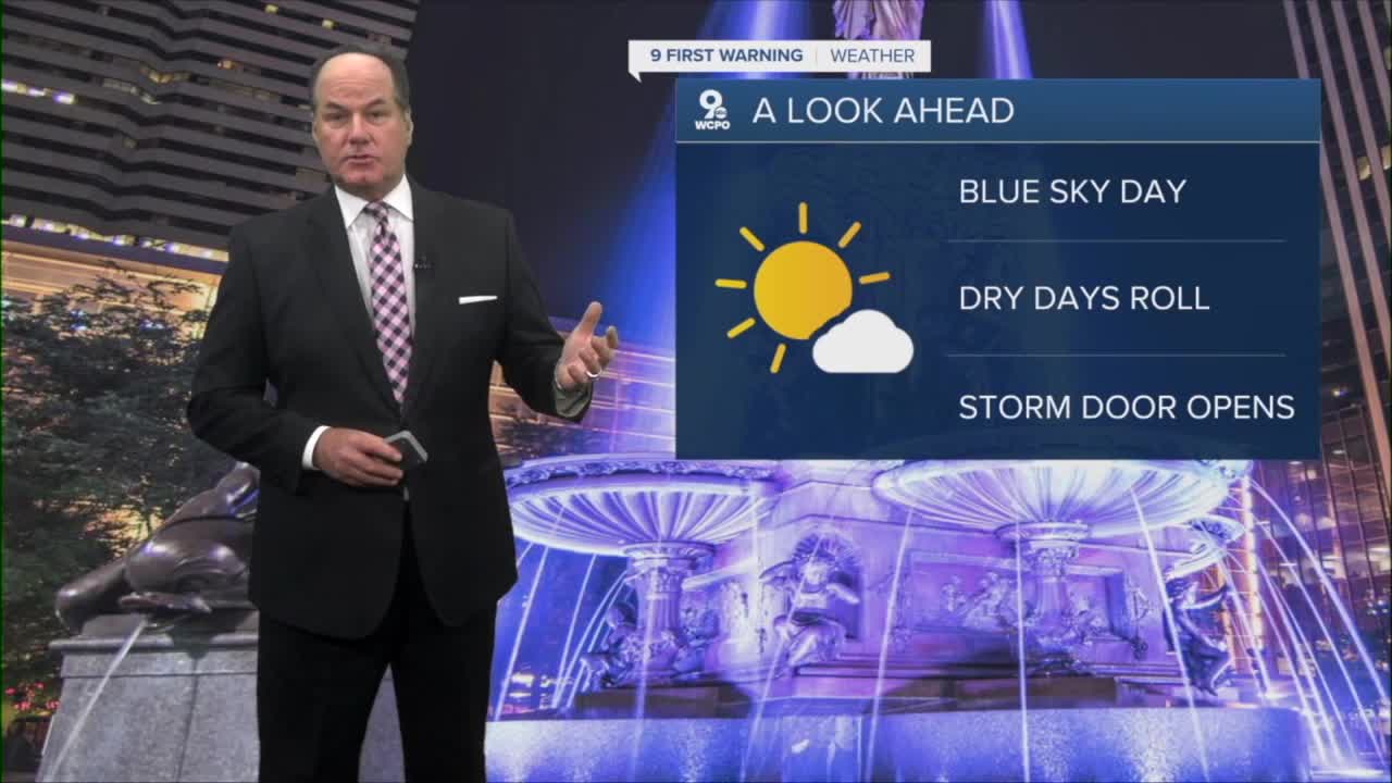


After a few lingering clouds and a sprinkle or two, the Cincinnati area is heading into a stretch of very pleasant weather that will last through most of the work week. Skies will gradually clear by daybreak, with temperatures falling to the mid-50s.

Sunshine will then dominate from Tuesday through Thursday, with highs warming from the mid-70s on Tuesday to the lower 80s by Thursday. Nights will remain comfortable, with lows generally in the 50s and lower 60s.

Friday will continue the warm trend, with highs reaching the mid-80s under mostly sunny skies. The reason for this extended period of dry and sunny weather is a large area of high pressure building into the area. As you may know, ( a little weather 101) high pressure promotes sinking air, which discourages cloud formation and rainfall. In addition, north-to-northeast winds early in the week will bring in cooler, drier air, helping to keep humidity levels low.
As the week progresses, however, the weather pattern will begin to change. The area of high pressure will slowly shift southeast, allowing winds to turn more from the south and southwest. This change in wind direction will push warmer and more humid air into the Tri-State. Even though temperatures and moisture will increase by Friday, there is not expected to be enough lifting in the atmosphere to produce widespread rain during the day.

By Friday night and especially into the weekend, a series of upper-level disturbances moving through the Great Lakes will provide rain chances. As a result, showers and thunderstorms will return beginning Saturday and continue through Sunday and likely into early next week. Rain coverage does not appear continuous, so there will still be dry periods, but the risk for scattered showers and thunderstorms will be noticeably higher than during our work week.
OVERNIGHT
Clearing skies
Low: 56
TUESDAY
Mostly sunny
Breezy
High: 76
TUESDAY NIGHT
Few clouds
Pleasant
Low: 54
9 First Warning Weather 24/7 Livestream
==========
- Interactive Radar: Track weather to your doorstep
- Sign up for severe weather email alerts
- Check latest school closings and delays
- WCPO traffic updates
- Metro bus detours and updates (or call the hotline at 513-632-7538)
- Latest power outages from Duke Energy
- Flight cancellations and delays from CVG, other U.S. airports
