


We stay mostly cloudy right through daybreak, and fog could become an issue overnight and into the Thursday morning commute. The clouds prevent us from getting too cold, holding us up in the mid-40s.
A warm front will start to slide towards the region on Thursday, helping to keep us mostly cloudy for another day. It could trigger a couple of spotty showers across Kentucky in the afternoon, but they likely stay south of our area. Highs will be in the upper 50s.
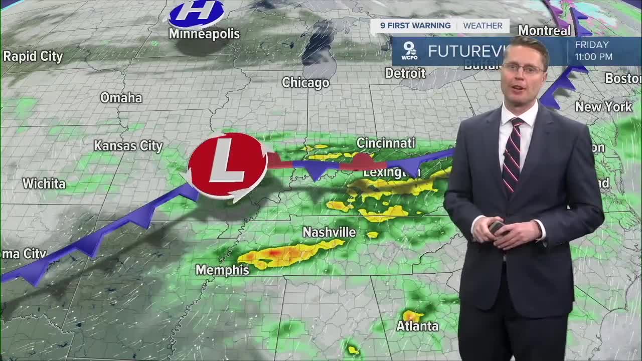
As the warm front gets closer overnight and into Friday morning, rain becomes much more likely. The rain will continue at times throughout Friday, but we'll still manage to warm into the upper 50s. Some of the rain could continue late enough to make for some wet high school football playoff games, so have the rain gear ready.

Some rain totals could push over half an inch!

We should completely dry out into Saturday morning, making for a much drier weekend! Saturday starts with some leftover clouds, but we should see more sunshine come out in the afternoon with highs in the mid 50s.
Sunday will be mostly sunny with upper 50s.
We drop back down into the mid 50s on Monday with a mix of sun and clouds.
Scattered rain becomes more likely Tuesday with mid 50s.
We keep a slight chance for rain for your holiday travel Wednesday and on Thursday for Thanksgiving. Temperatures will slide back down into the low 50s.
OVERNIGHT
Cloudy
Foggy areas
Low: 45
THURSDAY
Mostly cloudy
Warmer
High: 56
THURSDAY NIGHT
Cloudy
Chance showers
Low: 50
FRIDAY
Cloudy
Rain likely
High: 59
9 First Warning Weather 24/7 Livestream
==========
- Interactive Radar: Track weather to your doorstep
- Sign up for severe weather email alerts
- Check latest school closings and delays
- WCPO traffic updates
- Metro bus detours and updates (or call the hotline at 513-632-7538)
- Latest power outages from Duke Energy
- Flight cancellations and delays from CVG, other U.S. airports
