



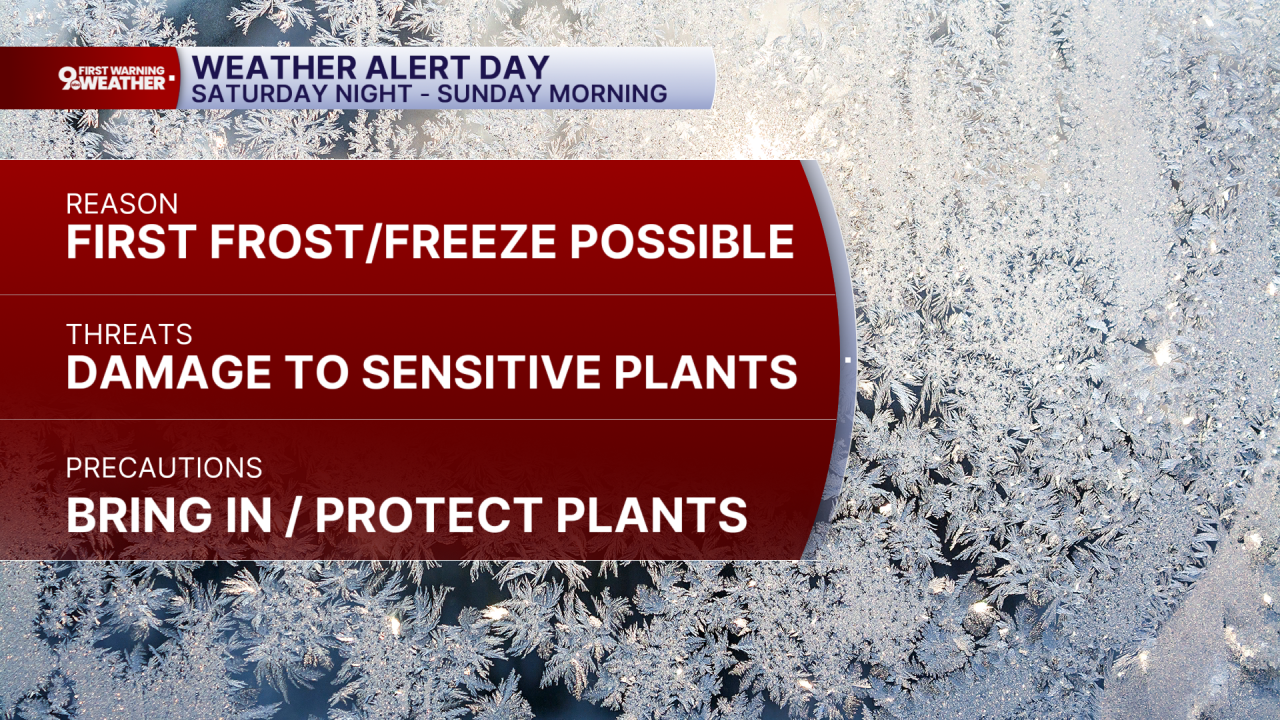
This morning is a 9 First Warning Weather Alert Day as the first widespread frost of Fall is expected. Everyone will drop down to at least the mid 30s, which will allow for frosty areas. Outside of the city, some spots could drop to freezing or just below it, making for the first light freeze of the season for some neighborhoods.
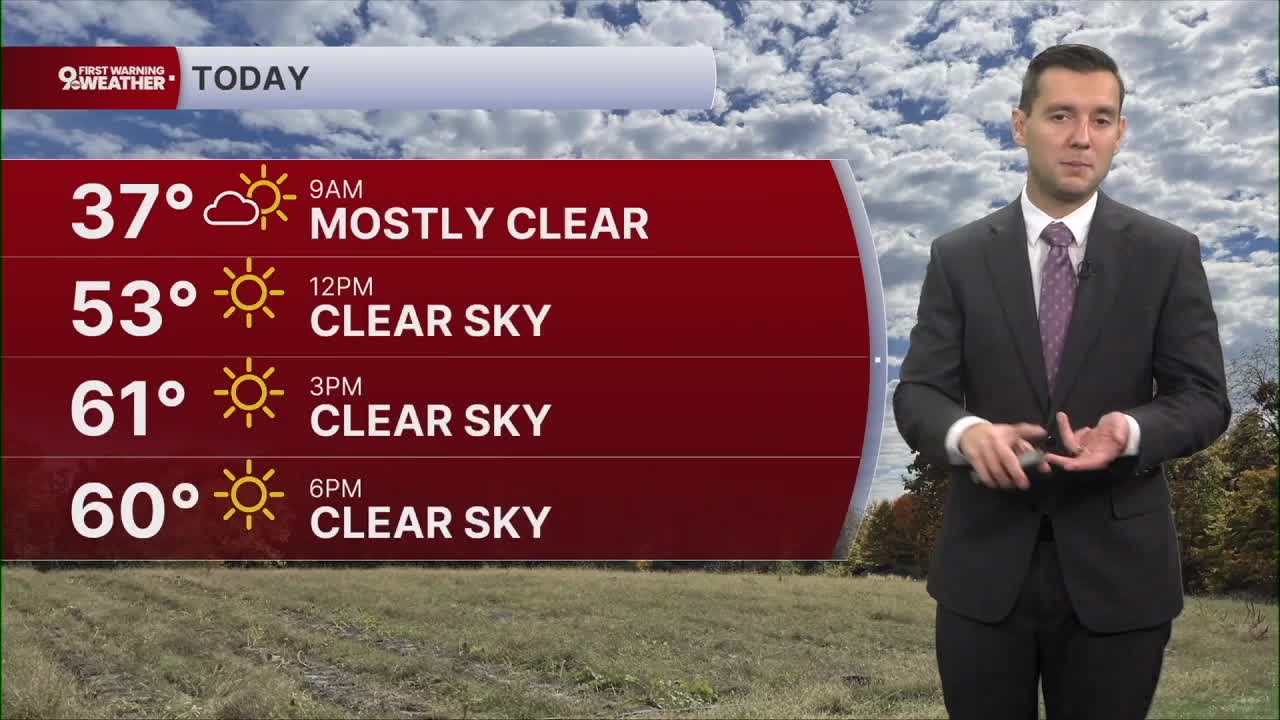
The good news is, the afternoon will be really nice. Expect temperatures to climb to the low 60s with sunny skies.
This starts a sunny and dry stretch of weather for the coming week. Through it, we will slowly warm up. Monday will be in the mid 60s, and we could get back to 70 on Wednesday. The low 70s continue into the next weekend.
THIS MORNING
Mostly clear
Weather Alert Day
Frost or freeze
Low: 36
SUNDAY
Mostly sunny
Cool
High: 62
SUNDAY NIGHT
Mostly clear
Chilly
Low: 41
MONDAY
Mostly sunny
Average
High: 66
9 First Warning Weather 24/7 Livestream
==========
- Interactive Radar: Track weather to your doorstep
- Sign up for severe weather email alerts
- Check latest school closings and delays
- WCPO traffic updates
- Metro bus detours and updates (or call the hotline at 513-632-7538)
- Latest power outages from Duke Energy
- Flight cancellations and delays from CVG, other U.S. airports
