


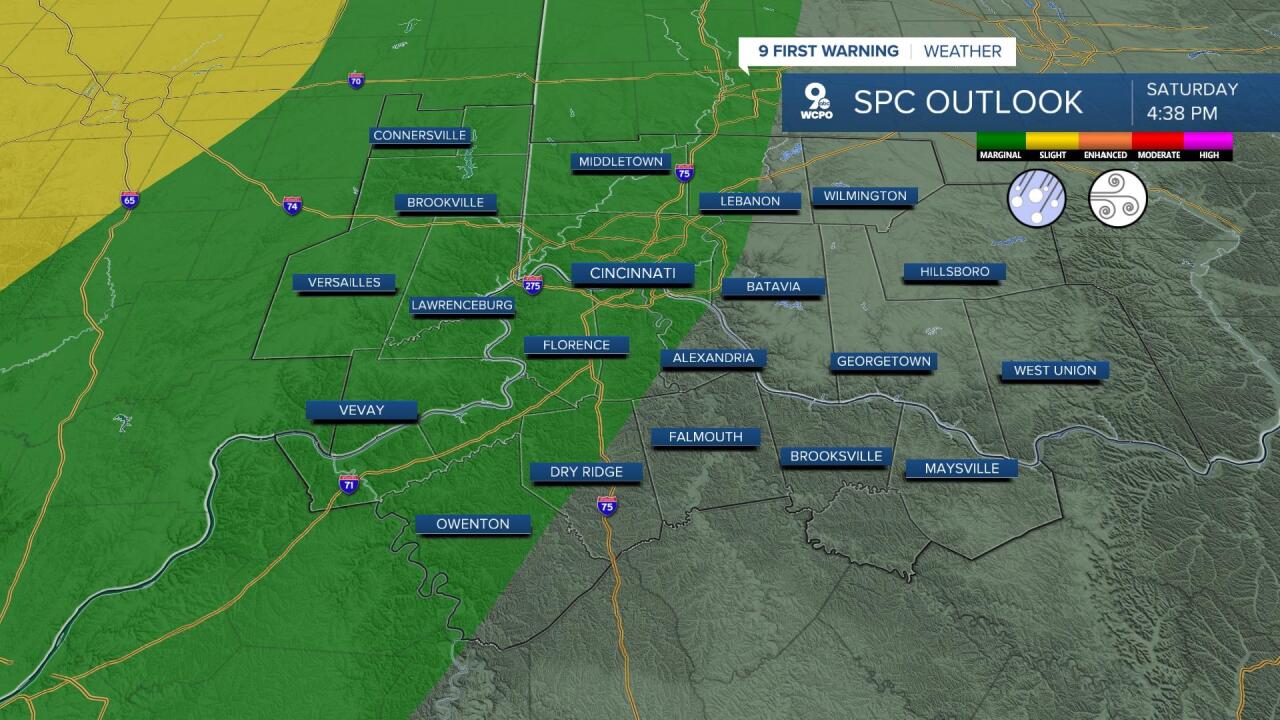
Showers and storms are moving in from Indiana and will push into the Tri-State as we head into the overnight. Much of the Tri-State is highlighted in a Marginal Risk (level 1 of 5) for severe storms early Sunday morning.
After midnight is when the better threat for storms will move in, likely after 1 or 2 a.m. Storms will bring the threat for gusty winds and large hail, along with localized heavy rainfall. A tornado cannot be ruled out, but that threat remains minimal. Most areas will likely see a quarter to a half inch of rainfall, but localized amounts near one inch will be probable in the heaviest storms.


We will have to watch the showers and storms for early in the morning Sunday as these will still be lingering for the start of the Flying Pig Marathon. We should be dry by 8 a.m., but an isolated shower may still be possible through 10 a.m.

From there we’ll start to clear out through the remainder of the day. Sunday afternoon should be pleasant with plenty of sunshine and warmth. High temperatures will settle in the mid to upper 70s along with a southwest wind at 15 to 30 mph.
This is the start of a 36-hour dry stretch ahead of the next round of storms which will move in Tuesday. Monday will be sunny to start with increasing clouds though the day. It will still be warm with a high near 74°.
Then our attention turns to Tuesday. There are early indicators that we could see possible severe weather. Highs that day will be in the 70s with thunderstorms being likely. Damaging wind is expected to be the greatest threat.
SATURDAY:
A.M. showers fading
Mostly cloudy
High: 76
SATURDAY NIGHT:
Overnight t'storms
Strong at times
Low: 62
SUNDAY:
A.M. rain fading
Few afternoon t'storms
High: 75
SUNDAY NIGHT:
Mostly clear
Cooler
Low: 51
9 First Warning Weather 24/7 Livestream
==========
- Interactive Radar: Track weather to your doorstep
- Sign up for severe weather email alerts
- Check latest school closings and delays
- WCPO traffic updates
- Metro bus detours and updates (or call the hotline at 513-632-7538)
- Latest power outages from Duke Energy
- Flight cancellations and delays from CVG, other U.S. airports
