


Frigid air remains firmly in place as we head into the morning. Tuesday will start bitterly cold, with morning temperatures in the teens across most locations. A light northwest breeze will add an extra bite, pushing wind chill values down into the single digits or teens through the day. Dress in layers and limit prolonged exposure if you’re heading out early.

Through the afternoon, temperatures will struggle to recover. Highs will remain subfreezing, generally topping out in the mid to upper 20s. Skies will feature in and out clouds, with occasional breaks of filtered sunshine doing little to help warm things up. Despite the cold, conditions stay mostly dry, but we do have a chance for flurries again in the late afternoon.
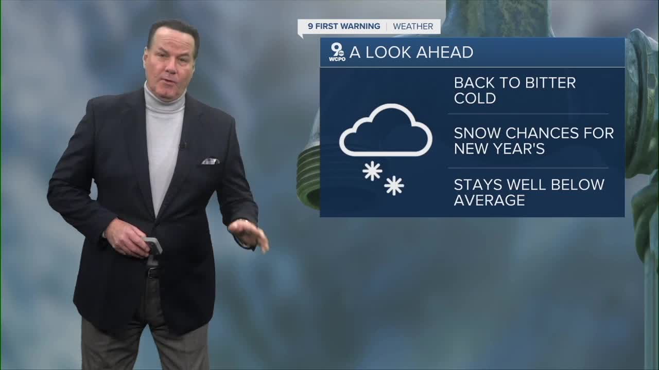
Wednesday looks much the same: a calm and cold day. Morning lows start in the mid-20s, followed by another day where temperatures just barely make it above freezing. Clouds will gradually increase late in the day, signaling our next system.
Light snow develops Wednesday night, New Year’s Eve, as a weak disturbance slides through. Snowfall will be light but steady at times overnight, continuing into New Year’s Day 2026 before tapering off. Most areas can expect a half inch to about an inch of accumulation, enough to coat roads and sidewalks and create some slick travel, especially during early morning hours.

Behind the snow, cold air remains locked in. Temperatures through the period stay mainly below average for this time of year, reinforcing a wintry pattern with no significant warmup in sight.
TONIGHT
Mostly cloudy
Winds diminish
Low: 14
TUESDAY
Partly sunny
Cold
High: 29
TUESDAY NIGHT
Mostly cloudy
Very cold
Low: 25
9 First Warning Weather 24/7 Livestream
==========
- Interactive Radar: Track weather to your doorstep
- Sign up for severe weather email alerts
- Check latest school closings and delays
- WCPO traffic updates
- Metro bus detours and updates (or call the hotline at 513-632-7538)
- Latest power outages from Duke Energy
- Flight cancellations and delays from CVG, other U.S. airports
