


After hitting 71 degrees in Cincinnati Saturday afternoon, a cold front brought hit and miss storms to finish the day. Skies will quickly clear behind the front overnight and into Sunday morning as we drop into the mid 40s.

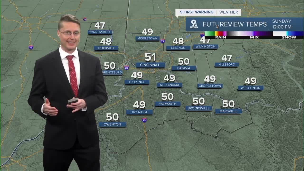
Behind the cold front, it will be a lot cooler on Sunday with highs in the upper 40s to low 50s. While cooler, it will be mostly sunny.
We will drop just below freezing in most cities for the Monday morning commute. In the afternoon, it will be mostly sunny with low 50s.
As a warm front moves in from the south, scattered rain will start to move into the region early Tuesday morning. While there will be dry time mixed in through the day, a lot of us will see rain at some point during the day, especially along and south of the Ohio River. Tuesday looks like the coolest day of the week with a high near 50.

As the warm front stays in the region, our chance for rain will continue through the rest of the workweek, keeping us mostly cloudy. We will slowly warm up a little more each day. Wednesday will be in the low 50s, but by Thursday afternoon, we should hit the upper 50s.
A cold front will bring a better chance for rain on Friday, but we should have enough time to hit the low 60s before it arrives.
We get more sunshine for the weekend as temperatures fall back to average in the low and mid 50s.
SUNDAY MORNING
Clearing Skies
Cool
Low: 44
SUNDAY
Mostly Sunny
Cooler
High: 53
SUNDAY NIGHT
Mostly clear
Cold
Low: 30
MONDAY
Mostly Sunny
Cooler
High: 51
9 First Warning Weather 24/7 Livestream
==========
- Interactive Radar: Track weather to your doorstep
- Sign up for severe weather email alerts
- Check latest school closings and delays
- WCPO traffic updates
- Metro bus detours and updates (or call the hotline at 513-632-7538)
- Latest power outages from Duke Energy
- Flight cancellations and delays from CVG, other U.S. airports
