


Another cold one tonight as we will dip down into the low 20s with mostly cloudy skies.
Saturday's sky will be overcast for much of the day. We could also see some flurries later in the day. And again, our temperatures are cold. We'll top out at 37 degrees.

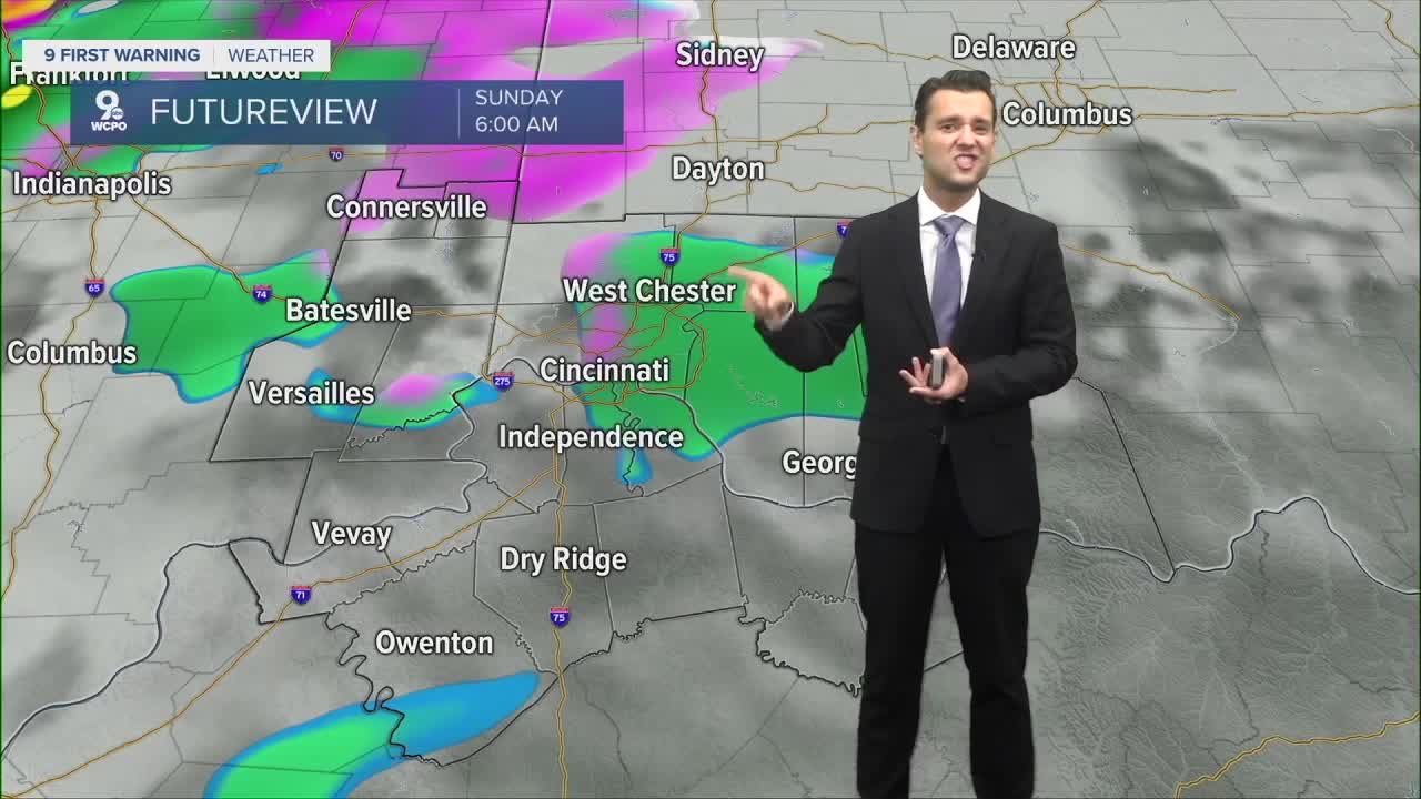
Sunday is also cloudy, but Sunday's forecast is a bit more complicated as an area of low pressure moves through the Ohio Valley during the day.
As of early this morning, the newest weather models coming in show a system with a wintry mix. This would primarily be rain in northern Kentucky and some wet snow potentially in our northern locations. Even if some do see snowfall, it would be minimal amounts, and it would not have a huge impact on travel conditions. Temperatures end up in the mid 30s on Sunday.

But I would highly recommend checking back in on this forecast over the weekend. The models haven't been overly consistent this week regarding Sunday's system and it could still change. We'll be here with updates as always,
Cold air and below-average conditions will continue to be the story all week next week.
TONIGHT
Partly cloudy
Cold and dry
Low: 24
SATURDAY
Mostly cloudy to overcast
Still well below average
High: 37
SATURDAY NIGHT
Overcast
Flurries
Low: 26
SUNDAY
A wintry mix chance
Overcast and cold
High: 34
9 First Warning Weather 24/7 Livestream
==========
- Interactive Radar: Track weather to your doorstep
- Sign up for severe weather email alerts
- Check latest school closings and delays
- WCPO traffic updates
- Metro bus detours and updates (or call the hotline at 513-632-7538)
- Latest power outages from Duke Energy
- Flight cancellations and delays from CVG, other U.S. airports
