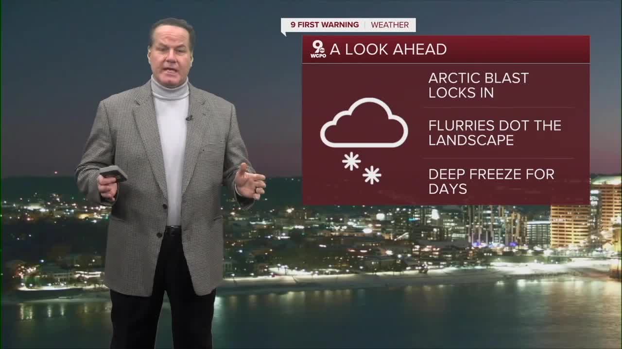


This week in Cincinnati is a stretch of dangerous winter weather, and it’s the kind of cold you need to take seriously. We’re starting the week after a significant snowstorm, and because temperatures are staying well below freezing, that snow and ice are not melting. An Extreme Cold Warning is in effect early in the week, which means the combination of cold air and wind creates a real risk to anyone spending time outdoors.

Tuesday and Wednesday, and most of the week, will be dangerously cold late at night and in the morning. Afternoon highs only reach the teens, while overnight temperatures fall below zero. Winds during this time make it feel much colder, with wind chills ranging from about 10 to as cold as 25 degrees below zero. At those wind chill values, frostbite can develop on exposed skin in as little as 20 to 30 minutes, especially on fingers, toes, ears, and noses. Limiting time outside, dressing in multiple layers, and making sure skin is covered is important if you must be outdoors.
As we move into the middle of the week, the extreme cold eases slightly but does not go away. Wednesday and Thursday remain very cold, with highs still in the teens and nighttime lows staying well below freezing. Skies will be mostly cloudy, and while there may be a slight chance of flurries, no major snowfall is expected. Even without new snow, icy patches will remain on roads, sidewalks, and parking lots because temperatures never get warm enough to melt them.

By late week and into the weekend, temperatures slowly moderate, with highs edging into the upper teens or low 20s. Despite this small warm-up, conditions remain cold enough to keep snow and ice around. Overall, this is a week of deep winter weather where cold safety is just as important as watching for snow and ice.
OVERNIGHT
Partly cloudy
Wind chill: -25 to -15
Low: -4
TUESDAY
Partly cloudy
Flurries
High: 20
TUESDAY NIGHT
Even colder
Few clouds
Low: -6
9 First Warning Weather 24/7 Livestream
==========
- Interactive Radar: Track weather to your doorstep
- Sign up for severe weather email alerts
- Check latest school closings and delays
- WCPO traffic updates
- Metro bus detours and updates (or call the hotline at 513-632-7538)
- Latest power outages from Duke Energy
- Flight cancellations and delays from CVG, other U.S. airports
