


Well, there goes our regular August weather! We are back to the cooler-than-average temperatures that we just experienced cold front moving through the area now.

A few clouds will roll over the area through the overnight before clearing by morning. The lows will stay rather seasonal ahead of the Fall feel that comes next.

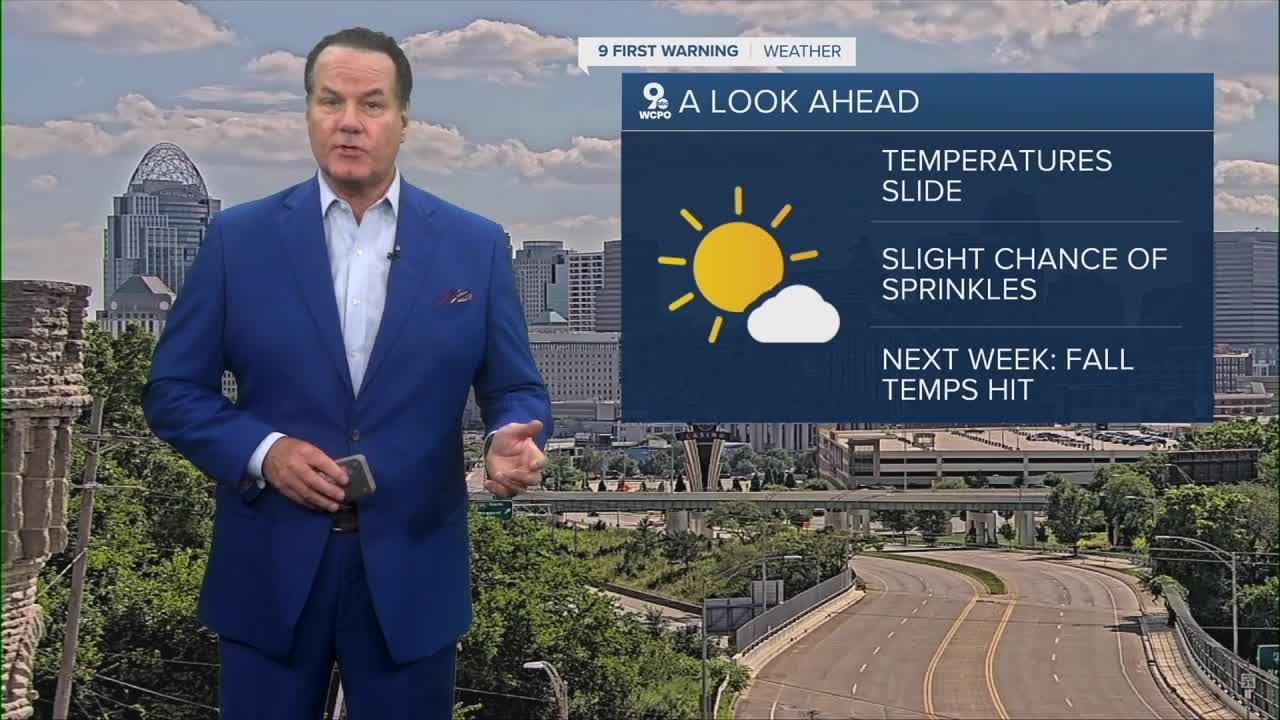
Sunday will feel more pleasant and comfortable without any humidity, and the afternoon temps will be by about 5-7 degrees.

As for next week, the Canadian cold front that's bringing the cooler conditions will result in highs only in the 70s with lows that could even drop to the upper 40s by Tuesday morning!
OVERNIGHT
Partly cloudy
Sprinkles possible overnight
Low: 62
SUNDAY
Mostly sunny
Pleasant
High: 80
SUNDAY NIGHT
Mostly clear
Cool
Low: 56
9 First Warning Weather 24/7 Livestream
==========
- Interactive Radar: Track weather to your doorstep
- Sign up for severe weather email alerts
- Check latest school closings and delays
- WCPO traffic updates
- Metro bus detours and updates (or call the hotline at 513-632-7538)
- Latest power outages from Duke Energy
- Flight cancellations and delays from CVG, other U.S. airports
