


After a hot Sunday, we will dip down to the 60s tonight but we aren't even close to being done with the heat.

Looking ahead, high pressure over the Midwest will keep us locked into a warm and dry pattern. The setup will keep temperatures some 10 degrees above normal through late this week.
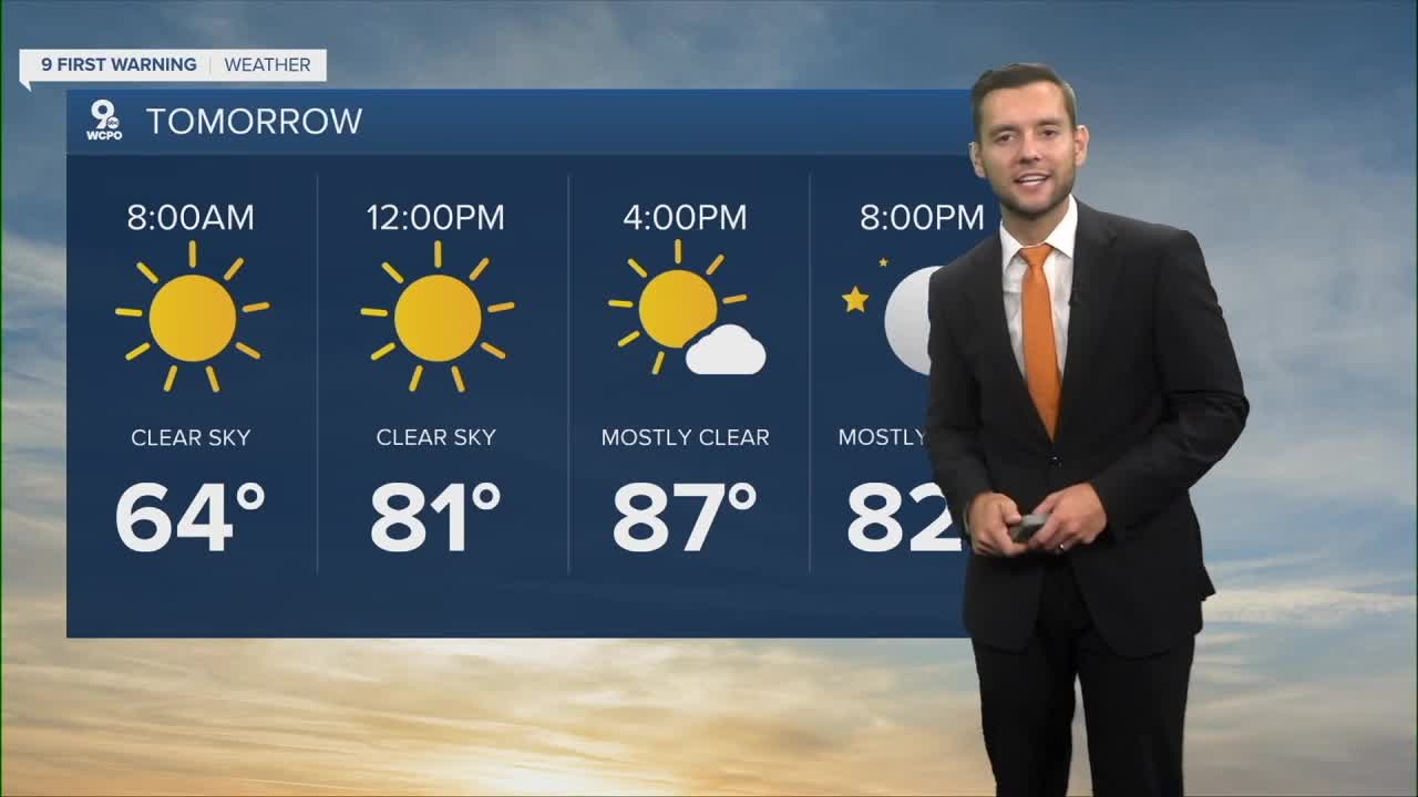
Conditions will stay hot with highs in the upper 80s, and some areas may reach 90. The next real shot at rain holds off until Thursday and we could then see several days in a row of rain here in the Tri-State. Humidity stays low, so even with the heat, it won’t feel overly sticky.
SUNDAY
Isolated rain early
Very warm
High: 87
SUNDAY TONIGHT
Mostly clear
Mild
Low: 64
MONDAY
Isolated rain early
Very warm
High: 88
MONDAY TONIGHT
Mostly clear
Mild
Low: 63
9 First Warning Weather 24/7 Livestream
==========
- Interactive Radar: Track weather to your doorstep
- Sign up for severe weather email alerts
- Check latest school closings and delays
- WCPO traffic updates
- Metro bus detours and updates (or call the hotline at 513-632-7538)
- Latest power outages from Duke Energy
- Flight cancellations and delays from CVG, other U.S. airports
