



Overnight will be clear and chilly across Greater Cincinnati and the Tri-State, with temperatures dropping into the mid-40s as Canadian high pressure settles into the Tri-State. Winds will become calm, and the combination of clear skies and light winds will allow temperatures to fall efficiently overnight, with some patchy frost possible farther north of Cincinnati in sheltered areas.
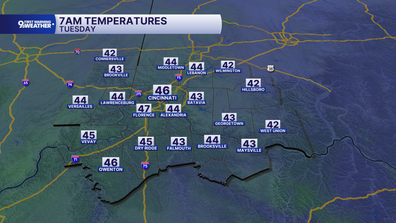
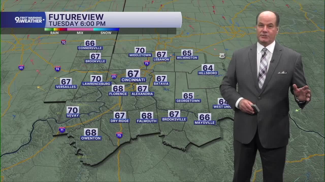
Tuesday starts chilly but turns sunny, with afternoon temperatures recovering into the low 70s. Tuesday night will be clear and cool again, with lows in the mid-40s. There could once again be some very patchy frost in sheltered areas north and east of Cincinnati. Then our temperatures begin moving in the other direction.
Warmer air gradually builds back into the Ohio Valley Wednesday, sending highs to around 80 under sunny skies. Wednesday night is noticeably milder, followed by another sunny day Thursday with highs in the upper 70s. Friday continues the dry stretch with sunshine and highs in the upper 70s.
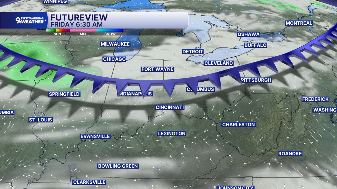
Saturday looks good as well, with sunshine and temperatures approaching 80. The next change could arrive Sunday as low pressure developing near the Gulf moves north toward the Ohio and Tennessee valleys. For now, Sunday is partly sunny and near 80, with the main message being a remarkably long stretch of dry weather before that possible late-weekend change.
OVERNIGHT
Mostly clear
Cool
Low: 46
MONDAY
Mostly sunny
Cooler
High: 71
MONDAY NIGHT
Mostly clear
Cooler
Low: 48
TUESDAY
Mostly sunny
Comfy
High: 70
9 First Warning Weather 24/7 Livestream
==========
- Interactive Radar: Track weather to your doorstep
- Sign up for severe weather email alerts
- Check latest school closings and delays
- WCPO traffic updates
- Metro bus detours and updates (or call the hotline at 513-632-7538)
- Latest power outages from Duke Energy
- Flight cancellations and delays from CVG, other U.S. airports
