


We stay mostly clear and dry overnight, dropping into the upper 30s and low 40s for Monday morning. While cool, that's still above average for March.
Monday afternoon will be mostly sunny and warmer with highs in the low 70s!

Scattered, mainly light, rain arrives Tuesday with mostly cloudy skies, but we stay warm. The afternoon will be in the mid 70s.
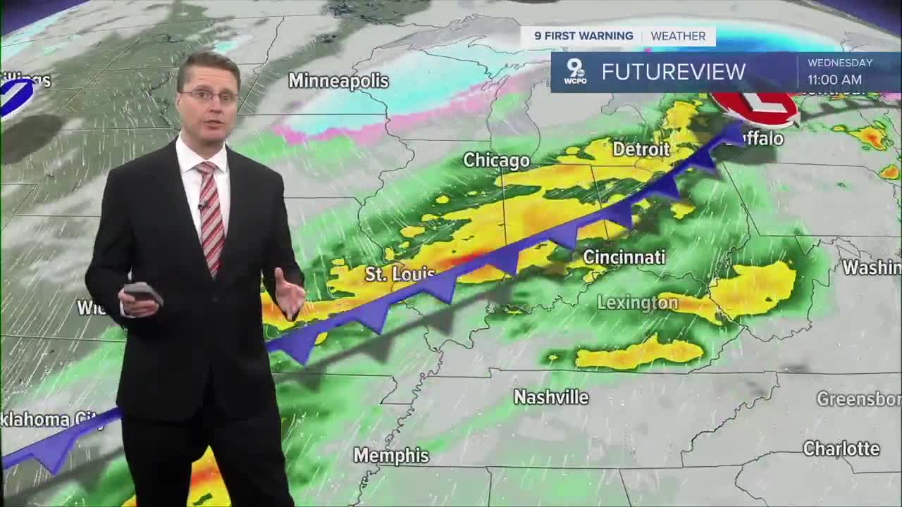
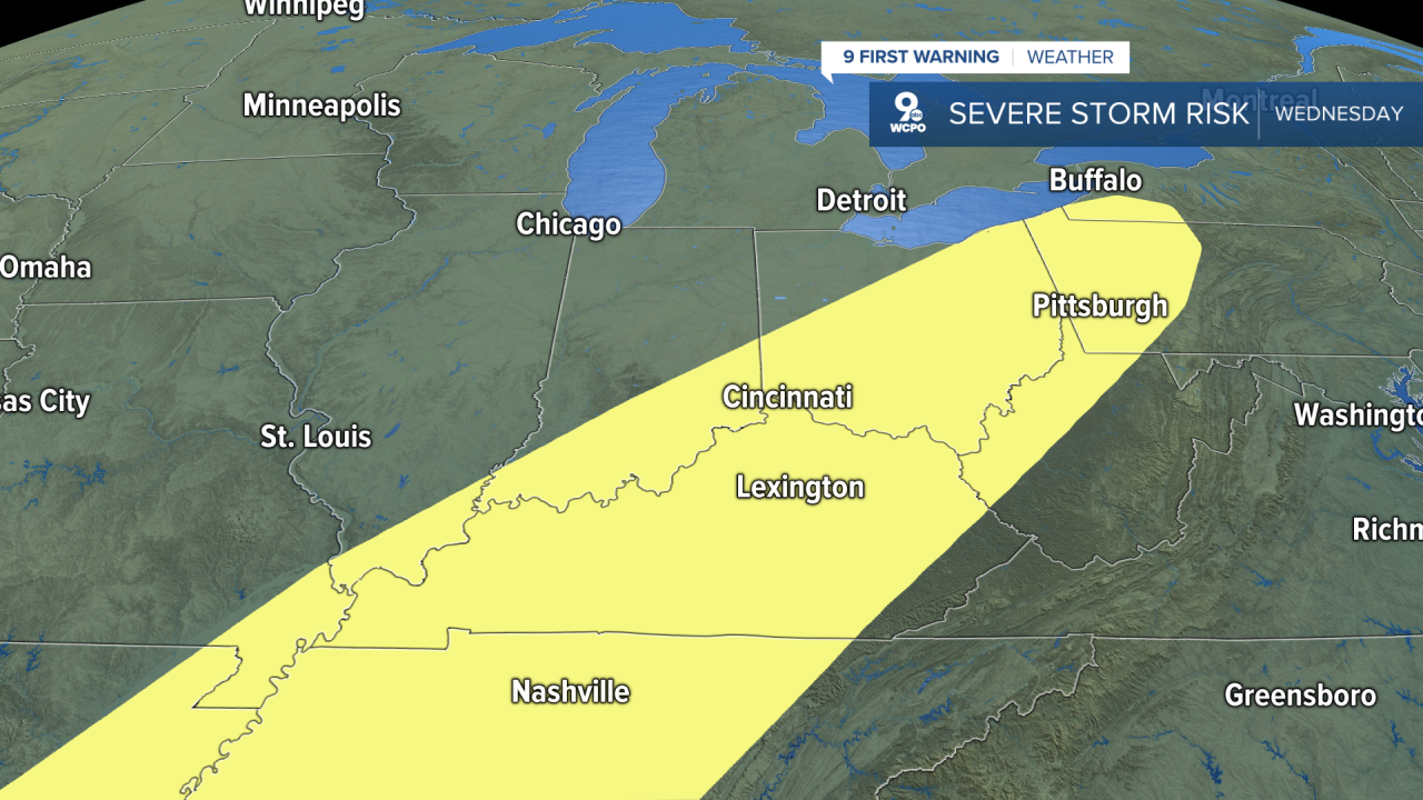
Late Tuesday night and into Wednesday morning, scattered showers and storms could make it into the Tri-State from our west, but this isn't a guarantee. If we have enough leftover rain Wednesday morning, it could help lower our severe weather chances later in the day. If it's drier, we'll have a better chance for the atmosphere to become unstable ahead of our next cold front.
Wednesday afternoon will be near 70 with a cold front arriving in the late afternoon or evening. This will bring a line of showers and storms. Depending on how the first half of the day goes, some of these storms could reach severe levels.
Behind the cold front, Thursday will be colder and drier as high pressure builds in. We'll see a mix of sunshine and clouds with highs in the upper 40s, which is closer to average for the middle of March.
We bounce back to 60 Friday with some sunshine.
Saturday looks a touch cooler with mid 50s, but it will be dry. Another cold front moves in Sunday, but we could hit the low 60s before it gets here. It likely brings more rain, which could change into some light snow into Monday morning if temperatures drop quickly enough.
Highs will only be in the 30s and 40s early in the next workweek.
OVERNIGHT
Mostly clear
Cool
Low: 43
MONDAY
Mostly sunny
Warmer
High: 72
MONDAY NIGHT
Clouds return
Mild
Low: 58
TUESDAY
Partly cloudy
Scattered light rain
High: 74
9 First Warning Weather 24/7 Livestream
==========
- Interactive Radar: Track weather to your doorstep
- Sign up for severe weather email alerts
- Check latest school closings and delays
- WCPO traffic updates
- Metro bus detours and updates (or call the hotline at 513-632-7538)
- Latest power outages from Duke Energy
- Flight cancellations and delays from CVG, other U.S. airports
