

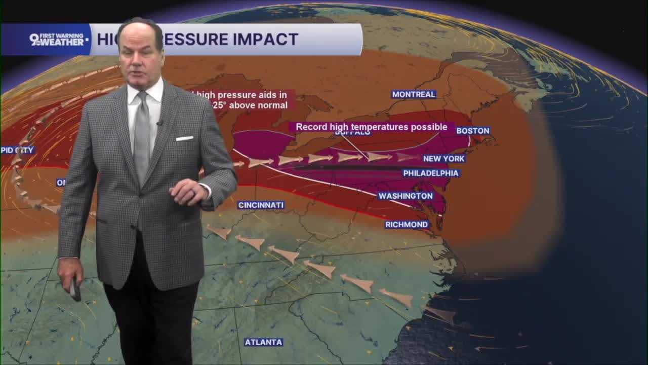


It’s another quiet night across the Tri-State with clear skies and temperatures settling into the lower 70s. That calm weather is setting the stage for another very hot day on Wednesday as strong high pressure remains in control. A Heat Advisory is now out for Wednesday, and the Air Quality Advisory continues as well.
Expect plenty of sunshine, although you may notice a little haze overhead from wildfire smoke high in the atmosphere. Afternoon temperatures will climb into the middle 90s, and when you factor in the humidity, it will feel closer to near 100 degrees in many locations.
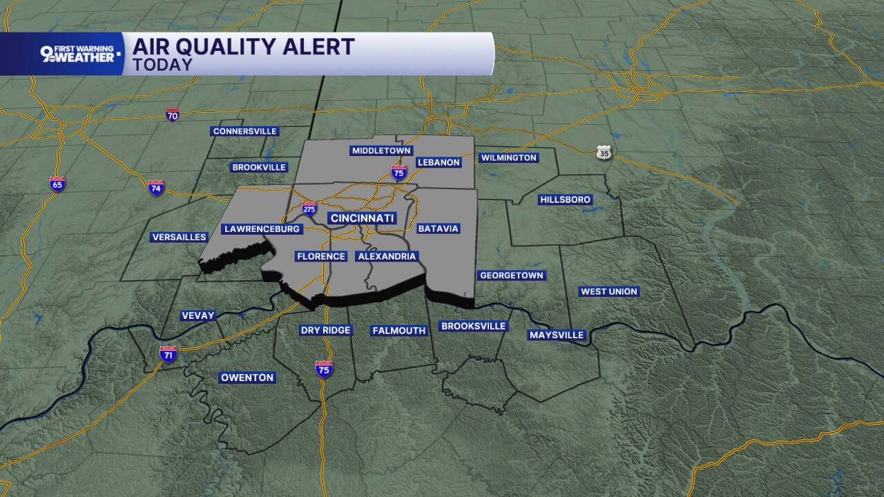
A Heat Advisory is in effect Wednesday afternoon for communities along and north of Interstate 70, so if your plans take you outdoors, be prepared for the hot and humid conditions. The heat isn’t going anywhere on Thursday, with a copy-and-paste day set for us.

As we head toward Friday and into the weekend, the weather pattern begins to change. The area of high pressure gradually weakens enough to allow disturbances to move into the Tri-State, bringing back chances for showers and thunderstorms. Rain and storm chances increase Friday afternoon and continue at times through the weekend.

Not everyone will see rain all the time, but any storms that do develop will be capable of producing heavy downpours, along with the potential for strong wind gusts. Even with those storm chances returning, it will remain warm and humid through the weekend, with afternoon temperatures generally staying around the lower 90s and plenty of that midsummer feel continuing across the area.
OVERNIGHT
Clear
Warm
Low: 70
WEDNESDAY
Sunshine
Heat Index: Near 100°
High: 92
WEDNESDAY NIGHT
Few clouds
Warm again
Low: 71
9 First Warning Weather 24/7 Livestream
==========
- Interactive Radar: Track weather to your doorstep
- Sign up for severe weather email alerts
- Check latest school closings and delays
- WCPO traffic updates
- Metro bus detours and updates (or call the hotline at 513-632-7538)
- Latest power outages from Duke Energy
- Flight cancellations and delays from CVG, other U.S. airports
