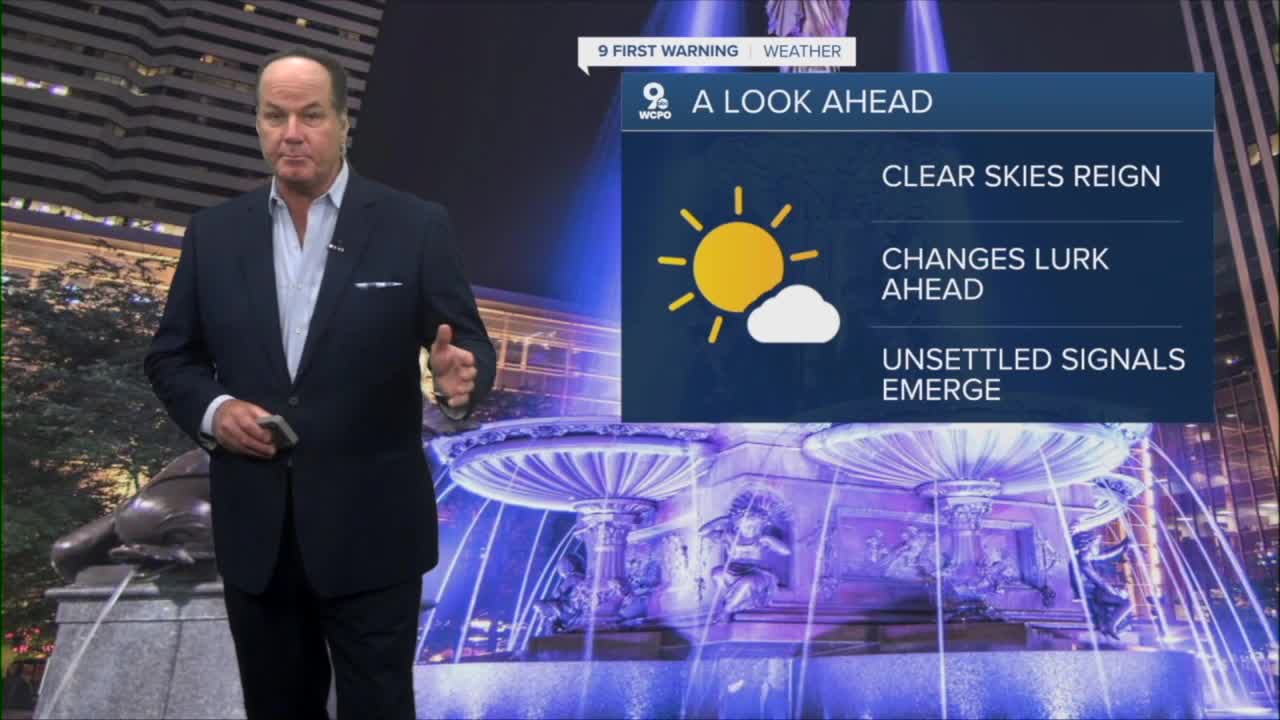


The Tri-State is in for a beautiful stretch of weather through the end of the workweek as high pressure settles directly over the area. After a cool and comfortable night with mostly clear skies, sunshine will dominate Wednesday and Thursday with very little cloud cover and pleasantly warm afternoon temperatures climbing first near 80 degrees and then into the 80s. Keep in mind, summer is only 19 days away!
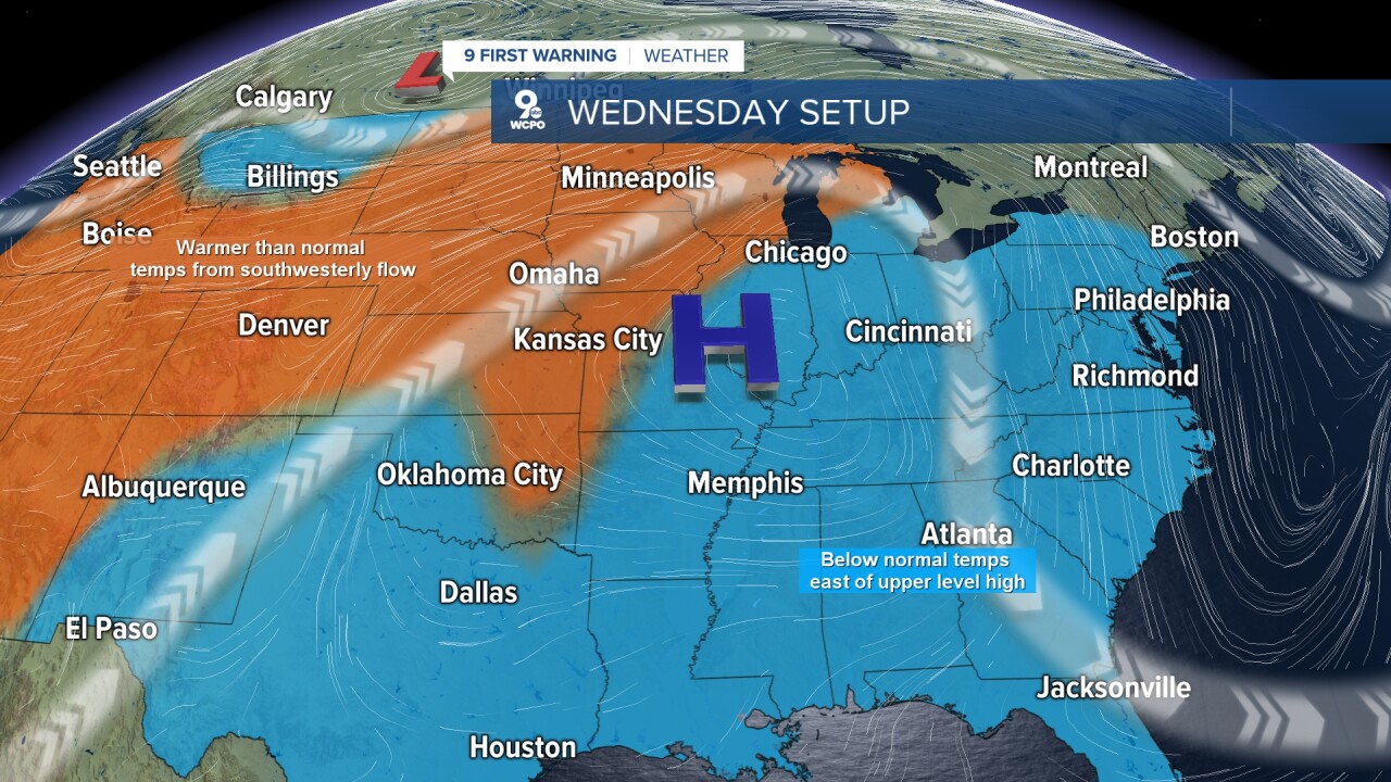
The reason for the extended dry weather is a strengthening area of high pressure building south from the Great Lakes, which promotes sinking air, limiting cloud development and keeping rain chances out of the forecast. Nights will remain comfortable with clear to mostly clear skies, although temperatures will gradually moderate as the center of high pressure shifts southeast later in the week, and this will push warm and more humid air our way.

By Friday and Saturday, the warming trend continues with summer-like air and a mix of sun and clouds developing as the high pressure begins to weaken. Saturday night currently appears to offer the first opportunity for rain and storms, with chances lingering into Sunday. A weak front is expected to settle near the Tri-State, and this will provide the trigger for showers and storms.

Even with those rain chances returning, much of the weekend will not be a washout, and many areas across the Tri-State can still expect extended dry periods between any scattered activity. Right now, the computer models have wavered between days this weekend, so stay tuned for the updates as we get closer to the weekend.
TONIGHT
Clear
Cool
Low: 54
WEDNESDAY
Mostly sunny
Seasonal
High: 79
WEDNESDAY NIGHT
Clear again
Dry
Low: 58
9 First Warning Weather 24/7 Livestream
==========
- Interactive Radar: Track weather to your doorstep
- Sign up for severe weather email alerts
- Check latest school closings and delays
- WCPO traffic updates
- Metro bus detours and updates (or call the hotline at 513-632-7538)
- Latest power outages from Duke Energy
- Flight cancellations and delays from CVG, other U.S. airports
