


We've got a pretty active weather pattern setting up over the next week, so let's break it all down for you.
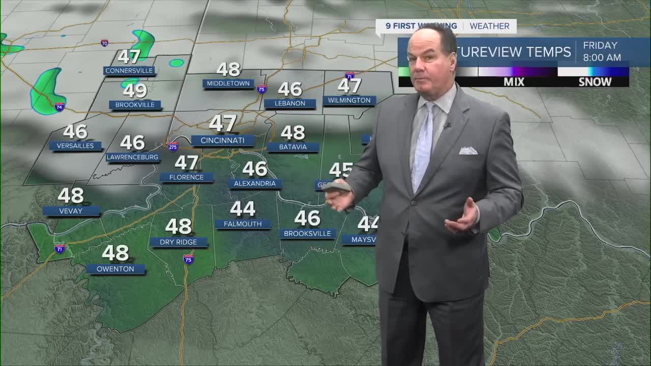
The overnight will be clear, quiet, and cool as lows fall to the mid 40s for most spots. We start Friday with sunshine, with close to seasonal highs near 70 degrees in the afternoon. But by then, increasing clouds will be the harbinger of changes at night from a cold front. So, late Friday afternoon, we're watching our next weather maker develop.

Showers are possible in the afternoon. However, the atmosphere may be slow to get going so the onset could be delayed. The likelihood of rain, with even a couple of thunderstorms happen for Friday night. Some models show over half an inch of rain, meaning there will be downpours. That's a meaningful amount of rain, so keep that in mind for any later Friday night plans.

Lingering rain will keep a few showers around very early on Saturday. At least when it comes to temperatures, the weekend brings a brief warmup back toward normal, but enjoy it quickly. Another cold front arrives Sunday, bringing another round of scattered rain for Mother’s Day.
Next week stays unsettled with additional rain chances midweek as another low moves through the region.
OVERNIGHT
Mostly clear
Dry
Low: 44
FRIDAY
Mostly sunny with increasing clouds
Afternoon rain chance
High: 69
FRIDAY NIGHT
Rain
Chance Storms
Low: 52
9 First Warning Weather 24/7 Livestream
==========
- Interactive Radar: Track weather to your doorstep
- Sign up for severe weather email alerts
- Check latest school closings and delays
- WCPO traffic updates
- Metro bus detours and updates (or call the hotline at 513-632-7538)
- Latest power outages from Duke Energy
- Flight cancellations and delays from CVG, other U.S. airports
