

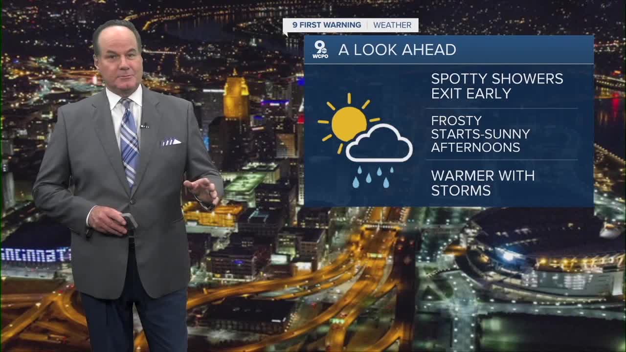


We have an early spring weather pattern unfolding into the morning and into the weekend. In fact, before I get into the forecast, the Climate Prediction Center says we'll have a 50% chance of below-average temperatures over the next couple of weeks.

We are in store for a quiet and cool night with partly cloudy skies as high pressure settles in, which helps winds go light and allows temperatures to drop into the low 40s.
On Friday, a weak disturbance slides through the region, which is why there’s just a chance of light showers mainly before noon. There’s not a lot of moisture or energy with it, so rainfall stays spotty and light. I will say the temps stay chilly, only reaching the upper 50s.

On Saturday, behind that system, cooler air filters in from the north as winds turn northerly, and that’s the big story heading into the weekend.
Clearer skies, light winds, and dry air are perfect conditions for temperatures to drop quickly at night, leading to frost in some areas Saturday and Sunday mornings. During the day, sunshine helps temperatures recover into the 50s with more warming on Sunday, bringing us back to the mid-60s.
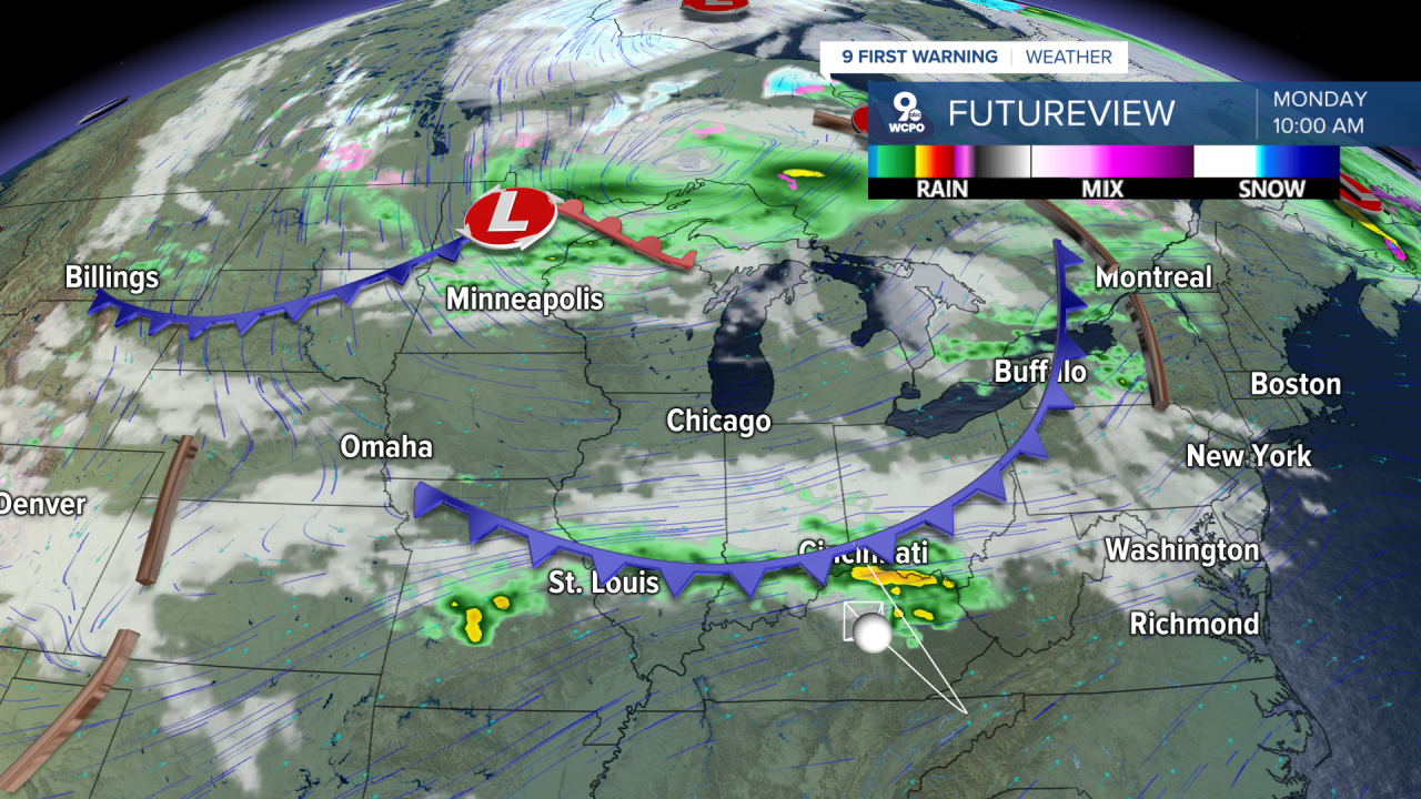
By late Sunday into early next week, the pattern flips. High pressure slides east, and warmer, more humid air starts moving back in from the south. That’s why shower chances return Sunday night and increase Monday through Wednesday.
OVERNIGHT
Chance rain around daybreak
Low: 43
FRIDAY
Few showers early
Mix clouds and sun
High: 58
FRIDAY NIGHT
Clearing out
Chilly, frost possible
Low: 37
9 First Warning Weather 24/7 Livestream
==========
- Interactive Radar: Track weather to your doorstep
- Sign up for severe weather email alerts
- Check latest school closings and delays
- WCPO traffic updates
- Metro bus detours and updates (or call the hotline at 513-632-7538)
- Latest power outages from Duke Energy
- Flight cancellations and delays from CVG, other U.S. airports
