



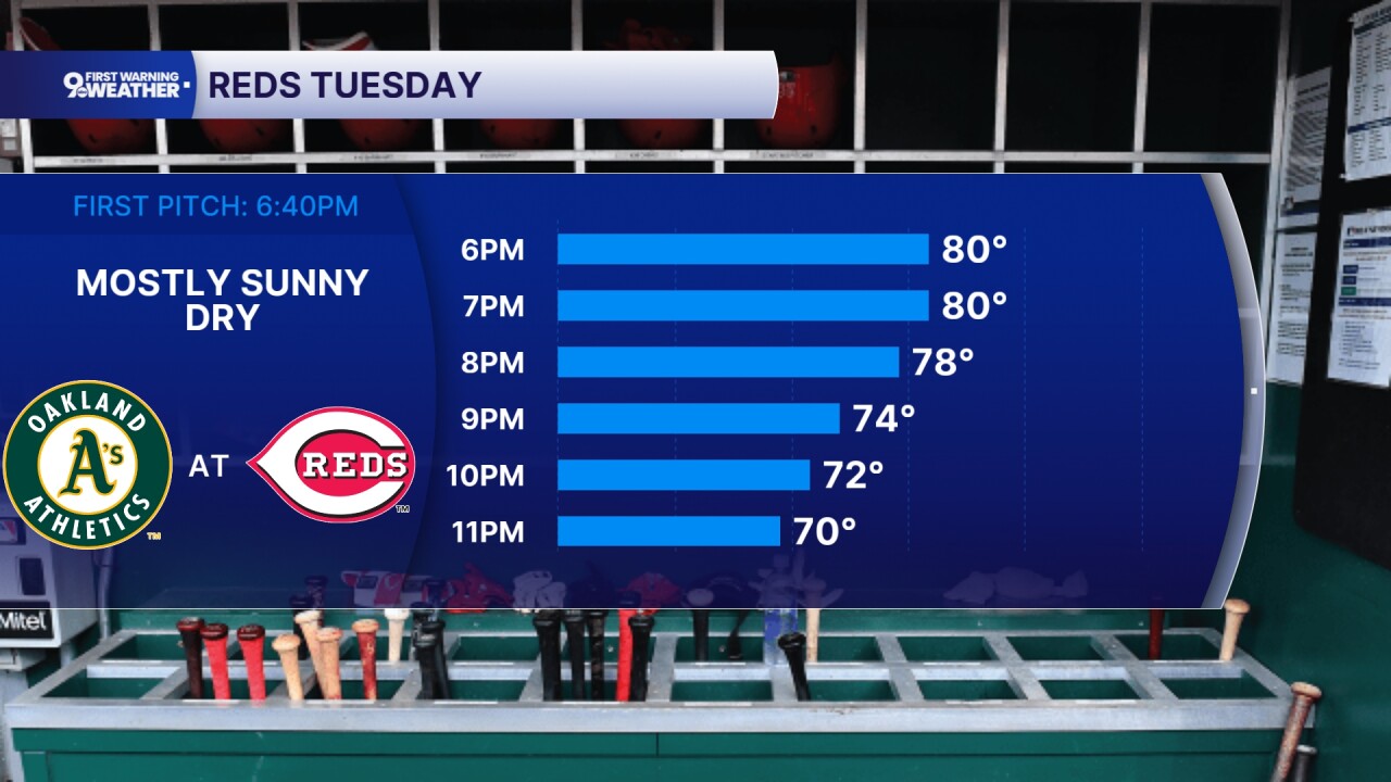
Quiet weather sticks around overnight and through Tuesday, making for another comfortable summer day across the Tri-State. We’ll start with a little patchy fog early in the morning, but once that clears, expect plenty of sunshine and afternoon temperatures climbing into the low to mid-80s. Winds stay light, and Tuesday night looks pleasant with mostly clear skies and lows settling into the mid-60s.
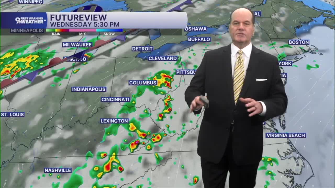
Wednesday brings another warm day with highs again in the mid 80s, but changes begin to arrive later in the afternoon. A weak weather system moving north from the Appalachians will bring a chance for scattered showers and thunderstorms, mainly after mid-afternoon, with a few lingering into the evening before tapering off. The possibility will mainly be confined to counties east of Greater Cincinnati.
Thursday starts mostly sunny, warm, and the humidity landing in the oppressive range. The weather pattern becomes more active heading into the night. A cold front approaching from the west will slow down near the region, creating a focus for showers and thunderstorms from Thursday night through Friday and into the weekend.

Friday currently looks like the wettest day of the stretch, with showers becoming more likely during the afternoon and continuing into Friday evening. Expect plenty of clouds, occasional downpours, and the chance for thunderstorms with temperatures holding in the low to mid 80s.
As we head into Saturday, scattered showers and thunderstorms remain possible, although it won’t necessarily rain all day. The front lingering nearby keeps the unsettled pattern in place. By Sunday, conditions begin to improve with a return to mostly sunny skies and highs warming back into the mid 80s.
OVERNIGHT
Clear
Patchy fog overnight
Low: 60
TUESDAY
Sunshine
A bit warmer
High: 83
TUESDAY NIGHT
Fair skies
Mild
Low: 65
9 First Warning Weather 24/7 Livestream
==========
- Interactive Radar: Track weather to your doorstep
- Sign up for severe weather email alerts
- Check latest school closings and delays
- WCPO traffic updates
- Metro bus detours and updates (or call the hotline at 513-632-7538)
- Latest power outages from Duke Energy
- Flight cancellations and delays from CVG, other U.S. airports
