


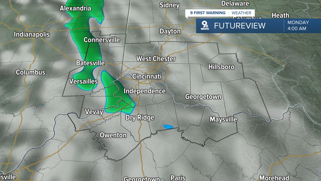
Clouds roll in tonight as winds turn to the south at 10 mph. As clouds build and winds ramp up our temperatures will stay mild in the low 40s. There may even be an isolated shower early in the morning hours on Monday, but most stay dry.
Monday will be our warmest day next week as temperatures climb up to 67°. Although we will have mostly cloudy skies we manage to stay predominately dry. Wind will be southerly helping that temperature to stay warm. Winds will be around 10 to 15 mph. Skies will stay mostly cloudy into the evening as the next chance at rain moves in.


A line of showers and storms will roll in overnight Monday into Tuesday with some periodic heavy rainfall. This looks to be after 1 a.m. Tuesday morning and through 7 a.m. This could have an impact on Tuesday morning's commute.
The Storm Prediction Center has part of the Tri-State in a Marginal Risk (level 1 of 5) for severe weather on Tuesday. This is going to be conditional on whether our atmosphere will be able to recover for the afternoon and evening as the cold from passes through. Tuesday's temperatures should be in the low 60s with strong winds gusting to 25 mph.
A quick look at Opening Day for the Cincinnati Reds shows plenty of sunshine at first pitch with a temperature around 57°.
TODAY
Mostly sunny
Seasonal
High: 54
TONIGHT
Partly cloudy
Not as cold
Low: 40
MONDAY
Mostly cloudy
Much Warmer
High: 67
MONDAY NIGHT
Showers and storms
Some strong
Low: 47
9 First Warning Weather 24/7 Livestream
==========
- Interactive Radar: Track weather to your doorstep
- Sign up for severe weather email alerts
- Check latest school closings and delays
- WCPO traffic updates
- Metro bus detours and updates (or call the hotline at 513-632-7538)
- Latest power outages from Duke Energy
- Flight cancellations and delays from CVG, other U.S. airports
