

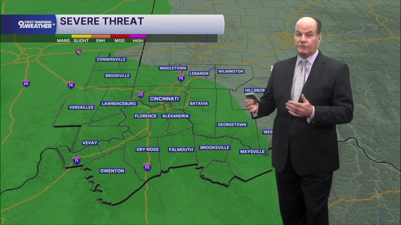


Heading toward the morning rush brings another round of unsettled weather across the Tri-State, and there’s a Marginal Risk of severe weather. Our main threat could be flooding or a rogue severe storm with damaging winds. It’ll be a tough morning for getting the school kids, or yourself, out the door.
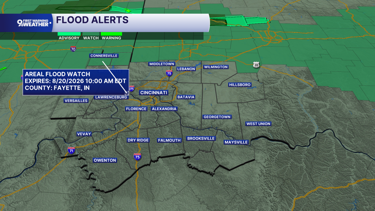
An approaching front moves into the region, which will trigger the wet weather.. Heavy rain and thunderstorms will be possible right into the morning rush. Any storm could produce locally heavy rainfall, although most locations should generally pick up a few tenths to a half inch. Temperatures settle into the mid-60s.
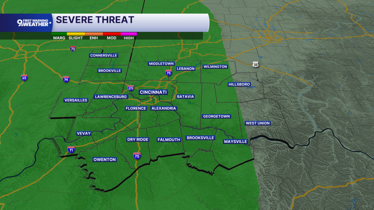
Before daybreak Thursday, it'll start with heavy rainfall and a chance for thunderstorms. The system responsible for the overnight rain will continue moving east, taking most of the rain and clouds with it and gradually clearing things out through the day. Showers should become less widespread by early afternoon, with only a slight chance for another shower later in the day. Clouds gradually break late afternoon, allowing some sunshine to return. Afternoon temperatures climb into the low 80s. Thursday night turns quieter and partly cloudy.
Then, we get a very nice Friday. Expect plenty of sunshine, dry weather, and afternoon temperatures in the low 80s with low humidity. Friday night stays mostly clear, with lows in the mid-60s. So, opening
Most of Saturday looks pretty good, with sunshine and temperatures again reaching the low 80s. Our next front arrives Saturday afternoon and evening, bringing a chance for showers and thunderstorms. There is some potential for stronger storms ahead of that front, so Saturday afternoon and evening will be the period to watch. That system moves through fairly quickly, leaving us with mostly sunny, cooler and dry weather Sunday, with highs around 80.
OVERNIGHT
Areas of heavy Rain and storms possible
Low: 67
THURSDAY
Early morning rain
Turning partly cloudy
High: 81
THURSDAY NIGHT
Mostly clear
Cooler
Low: 65
9 First Warning Weather 24/7 Livestream
==========
- Interactive Radar: Track weather to your doorstep
- Sign up for severe weather email alerts
- Check latest school closings and delays
- WCPO traffic updates
- Metro bus detours and updates (or call the hotline at 513-632-7538)
- Latest power outages from Duke Energy
- Flight cancellations and delays from CVG, other U.S. airports
