


We stay mostly clear and mild overnight. Cincinnati only drops down into the mid 40s for Friday morning, which is about 10 degrees above average.
Spring officially kicks off Friday morning! We start the day with clouds, but most of us will be dry. A couple isolated showers could clip our most eastern counties midday. The afternoon brings more sunshine and some extra wind with highs in the low 70s.
Saturday will also be in the low 70s with a mix of sunshine and clouds.
The heat peaks on Sunday with highs near 80 across the Tri-State. While that is about 25 degrees above average, it will still fall short of the date's record high of 85. Sunday night, our next cold front arrives, bringing a number of showers to the region, but you should have time to get home from the FC Cincinnati match before the rain moves in.

Behind the cold front, it will be breezy and cooler on Monday. Highs will be in the low 50s, dropping us a touch below average.

We warm up a little Tuesday into the mid 50s with lighter wind. Wednesday will be closer to 60. Some of us will probably catch some light rain Tuesday or Wednesday too.
There's suddenly a lot more uncertainty with the timing of our next cold front, which will make or break our Opening Day weather. Essentially, it's too early to lock in the timing of the rain the cold front brings, but it will push through either Thursday or early Friday. Assuming the cold front holds off long enough, we could warm to 70 on Thursday!
OVERNIGHT
Mostly clear
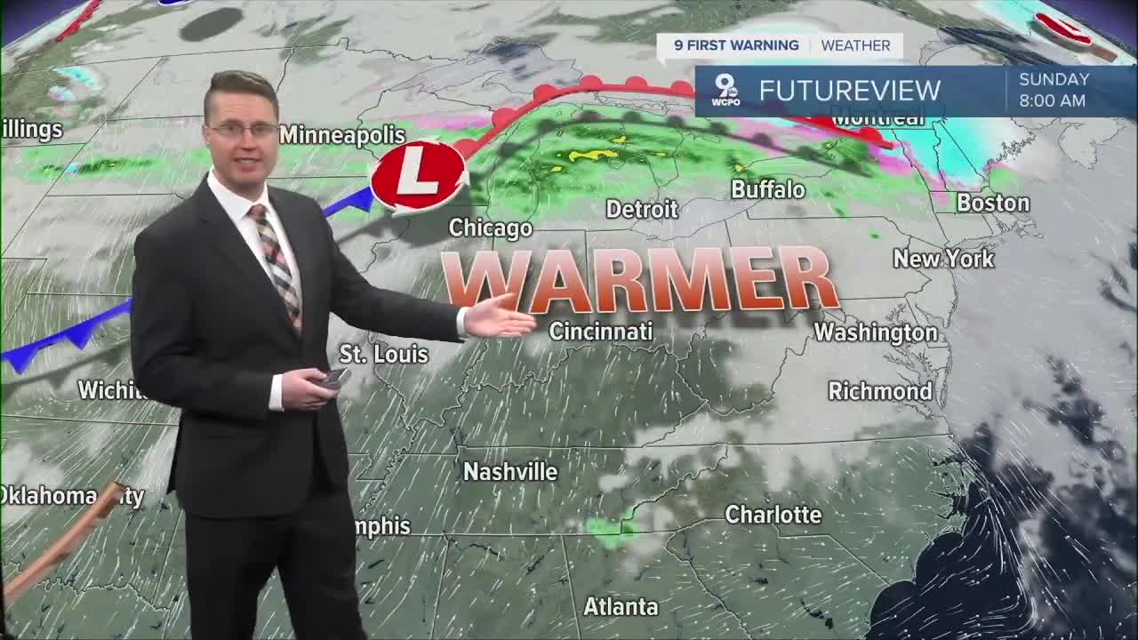
Warmer
Low: 46
FRIDAY
Clearing skies
Breezy
High: 72
FRIDAY NIGHT
Partly cloudy
Above average
Low: 49
SATURDAY
Partly cloudy
Comfy
High: 72
9 First Warning Weather 24/7 Livestream
==========
- Interactive Radar: Track weather to your doorstep
- Sign up for severe weather email alerts
- Check latest school closings and delays
- WCPO traffic updates
- Metro bus detours and updates (or call the hotline at 513-632-7538)
- Latest power outages from Duke Energy
- Flight cancellations and delays from CVG, other U.S. airports
