


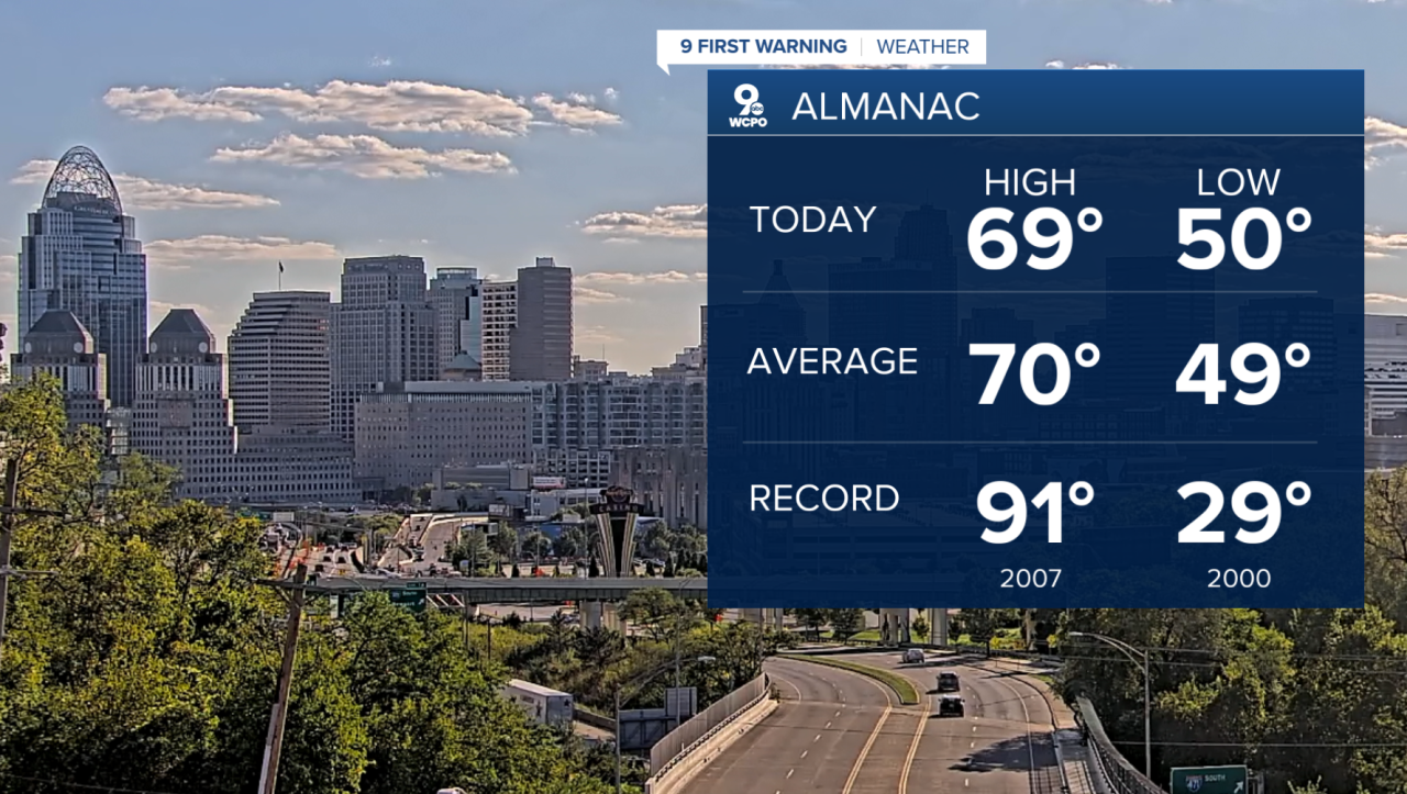
A beautiful sunny Wednesday around the Tri-State led to a near-perfect Fall day! As both the high and low on the day were just about spot on!
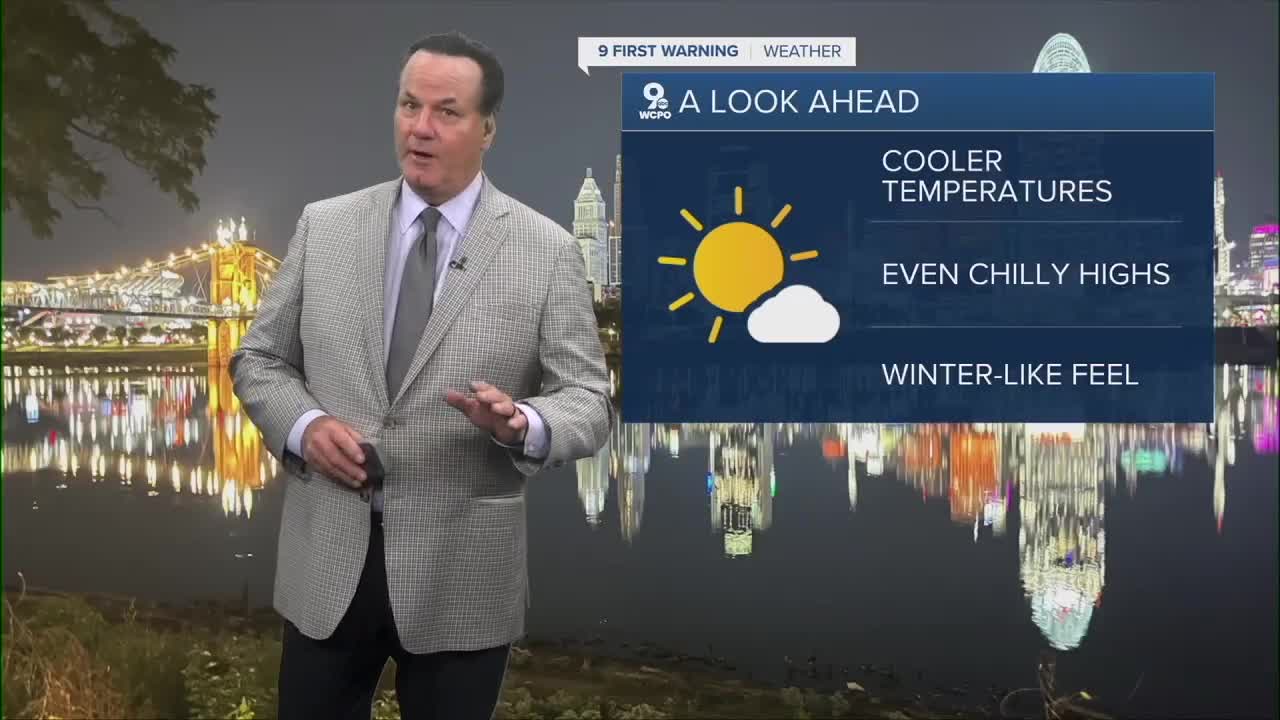
High pressure is keeping the Tri-State, plus much of the middle of the nation, clear and cool. For that matter, afternoon highs on Thursday will be even cooler, only making it to the mid-60s.
It gets even cooler...maybe I should use colder... on Thursday night. Morning lows on Friday will fall to the mid to upper 30s for much of the area. It's not out of the question that some areas could see some frost!

Following our big chill, we'll see a pleasant rise in temperatures heading toward the weekend as highs return to the low 70s. The forecast will stay dry and warm further into next week with a small chance for wet weather.
OVERNIGHT
Clear sky
Chilly
Low: 43
THURSDAY
Sunshine
Cool
High: 65
THURSDAY NIGHT
Clear sky
Chilly again
Low: 40
9 First Warning Weather 24/7 Livestream
==========
- Interactive Radar: Track weather to your doorstep
- Sign up for severe weather email alerts
- Check latest school closings and delays
- WCPO traffic updates
- Metro bus detours and updates (or call the hotline at 513-632-7538)
- Latest power outages from Duke Energy
- Flight cancellations and delays from CVG, other U.S. airports
