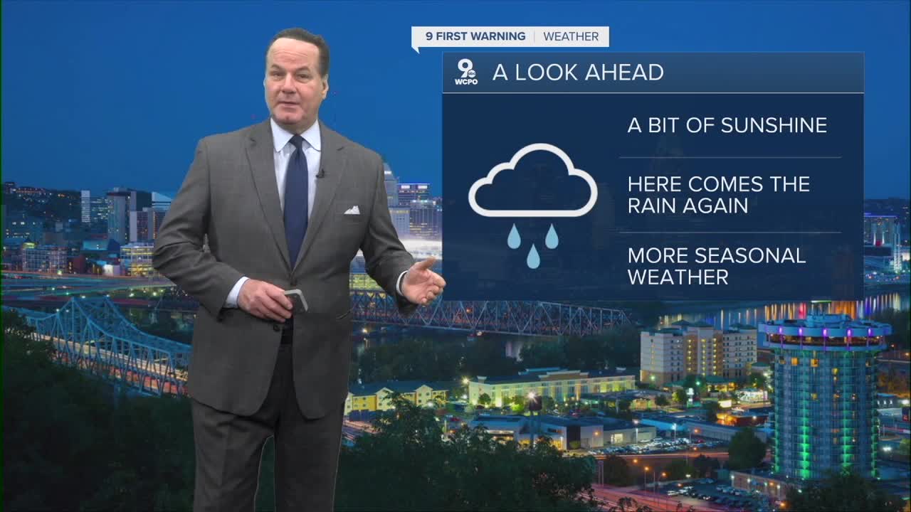


While skies will remain gray, the conditions remain dry as clouds linger overhead. Morning temps will be very mild in the low 40s, and for perspective, morning temps are similar to our usual afternoon highs at this time of year.
Looking ahead to Wednesday, the sun makes a modest return with partly sunny skies and highs climbing into the low 50s, offering a brief break from the clouds. Wednesday night becomes cooler and more settled, with increasing cloudiness as we edge toward a wetter pattern later in the week.
Thursday begins mostly cloudy with only a slight chance for rain in the afternoon, but as the day gives way to night, rain becomes more likely. By Thursday night and early Friday, a steadier rain, heavy at times, will develop and rainfall amounts of a quarter to a half inch are likely.

Rain continues into Friday and Friday night, with showers and a chance of thunderstorms before tapering into the weekend. Saturday still holds a chance of rain before midday, but conditions gradually shift toward drier and slightly cooler conditions.
By Sunday, the most notable change arrives: much colder air will be in place. The forecast high drops to around 36 degrees, and while skies turn partly sunny, the chill will be unmistakable compared to the earlier milder conditions. Overnight lows dip into the mid-20s, reinforcing that crisp air mass filtering in behind the weekend weather system.
OVERNIGHT
Mostly cloudy
Dry
Low: 40
WEDNESDAY
Clouds early
Partly Sunny
High: 52
WEDNESDAY NIGHT
Increasing clouds
Low: 39
9 First Warning Weather 24/7 Livestream
==========
- Interactive Radar: Track weather to your doorstep
- Sign up for severe weather email alerts
- Check latest school closings and delays
- WCPO traffic updates
- Metro bus detours and updates (or call the hotline at 513-632-7538)
- Latest power outages from Duke Energy
- Flight cancellations and delays from CVG, other U.S. airports
