

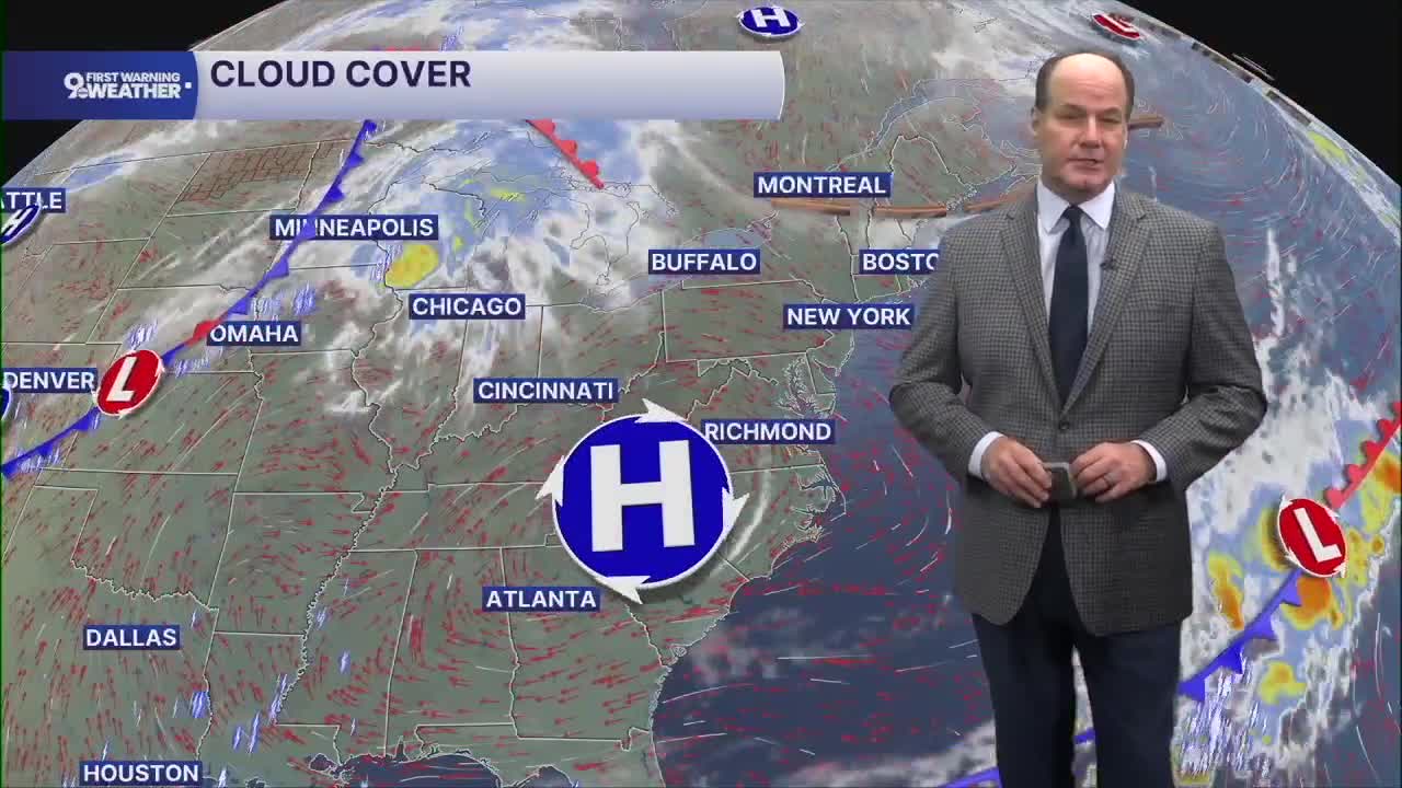


The morning looks quiet across the Tri-State, with fair skies, light southerly wind, and temperatures settling into the low 70s.
Tomorrow turns hotter and more humid as high pressure shifts east and the wind becomes more southwesterly, bringing warm, moist air back into the Tri-State. Sunshine should dominate through much of the day, with highs reaching the mid-90s and the heat feeling even more intense during the afternoon. Southwest winds will also pick up at times, adding a little breeze but not much relief from the heat.
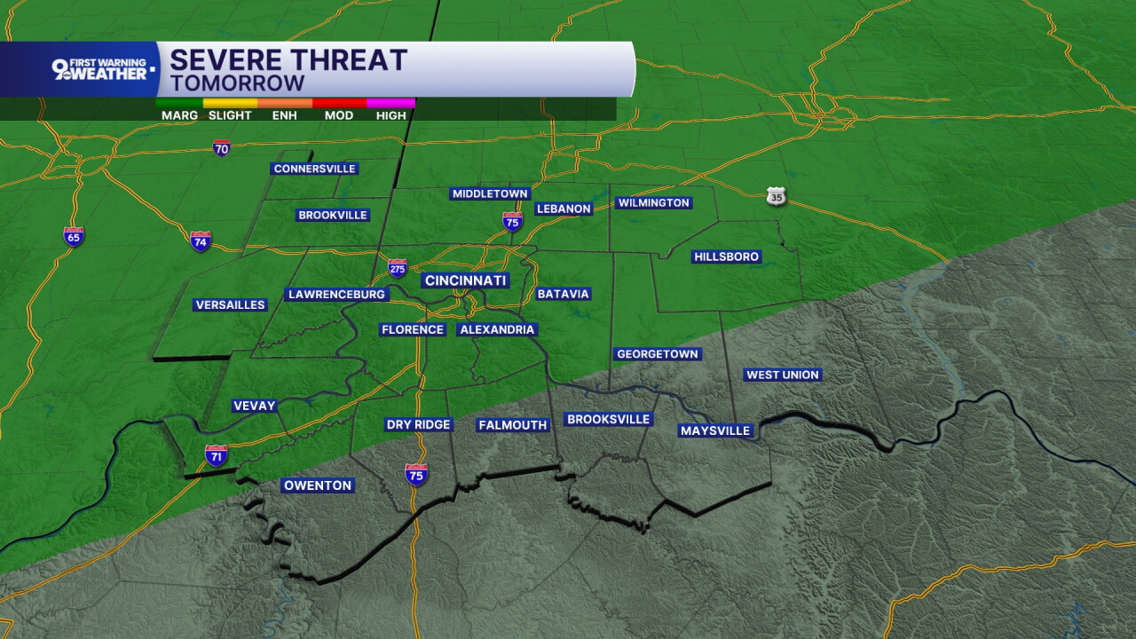
The bigger change arrives tomorrow night as a cold front approaches from the northwest. A “Marginal Risk” (category 1 out of 5) of severe weather is possible. Showers and thunderstorms become likely, and that front slows as it moves into the region. That slow movement matters, because very moist air will be pooling along the boundary, creating the potential for repeated rounds of rain.
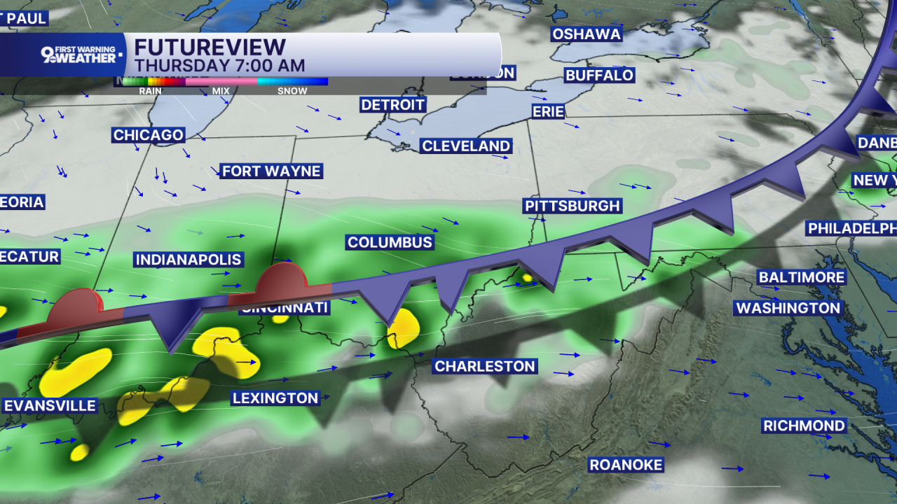
Thursday is the wettest and most unsettled day of the forecast, with showers and thunderstorms likely, locally heavy rainfall possible, and highs held closer to the low 80s. We could see 2”+ of rainfall, and this could cause flash flood issues.
The front should finally push southeast Thursday evening, opening the door to cooler and drier air. Friday looks much more comfortable, with mostly sunny skies and highs in the low 80s.
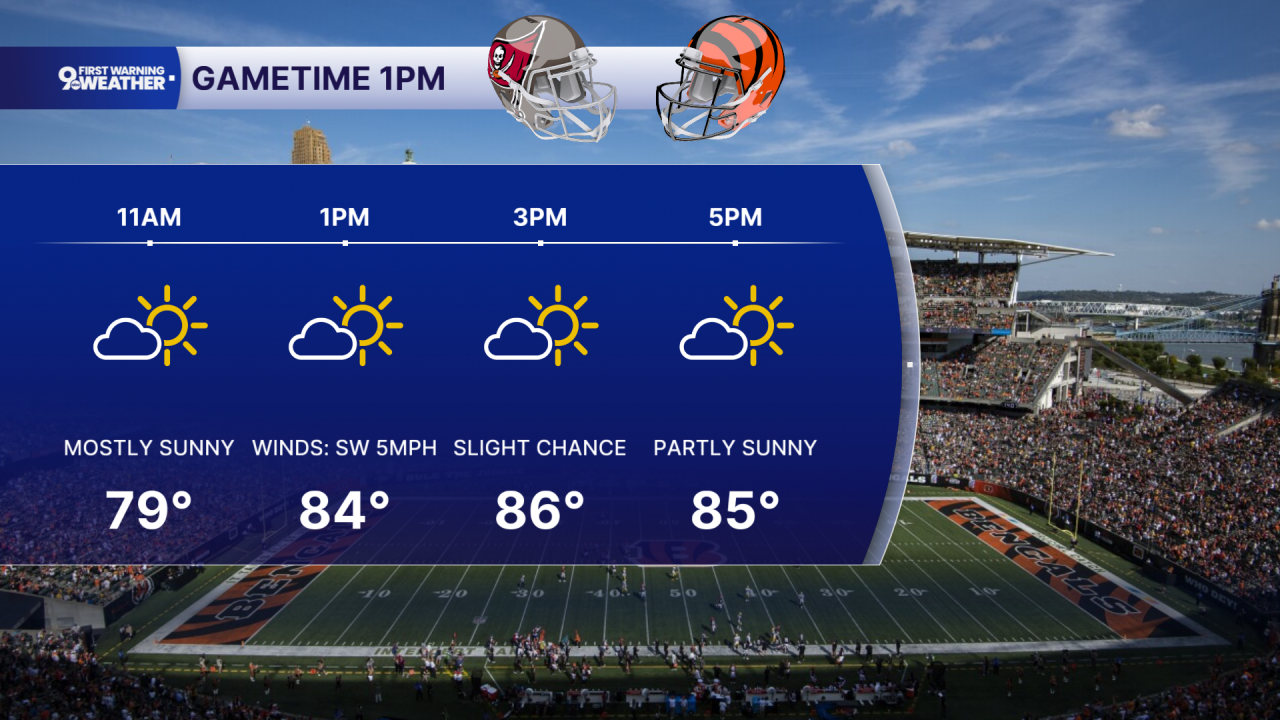
The weekend then trends warmer again but stays mainly dry, with plenty of sunshine Saturday and Sunday and afternoon temperatures climbing into the upper 80s. Monday keeps the quiet pattern going, with mostly sunny skies and temperatures remaining in the mid to upper 80s.
OVERNIGHT
Fair skies
Muggy
Low: 73
WEDNESDAY
Partly cloudy
Isolated storms by the late afternoon/evening
High: 92
WEDNESDAY NIGHT
Spotty storms
Low: 72
9 First Warning Weather 24/7 Livestream
==========
- Interactive Radar: Track weather to your doorstep
- Sign up for severe weather email alerts
- Check latest school closings and delays
- WCPO traffic updates
- Metro bus detours and updates (or call the hotline at 513-632-7538)
- Latest power outages from Duke Energy
- Flight cancellations and delays from CVG, other U.S. airports
