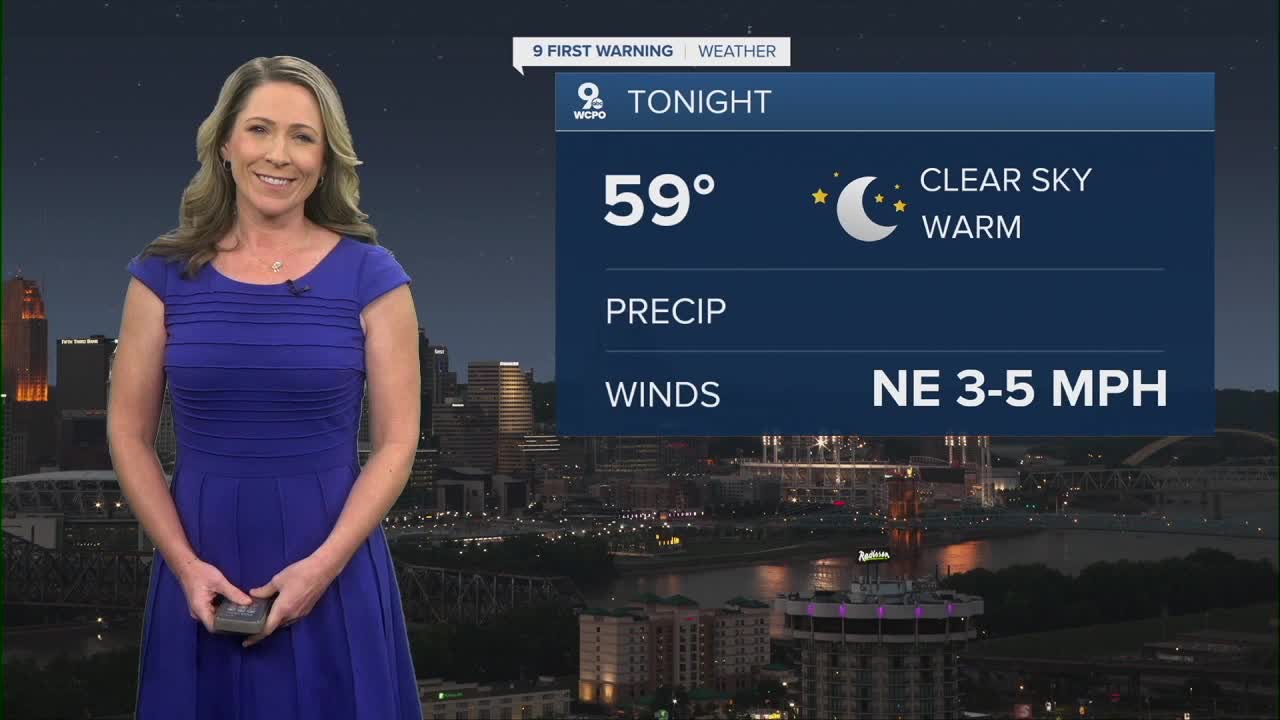


With clear conditions and a light northeast wind, temperatures will cool to the mid to upper 50s. tonight.
The forecast is looking a little different for Wednesday in two ways. First of all, the sky will be partly cloudy instead of perfectly sunny. These hit or miss clouds will keep the temperature a few degrees lower. But 82 degrees is still warm for the first day of October.

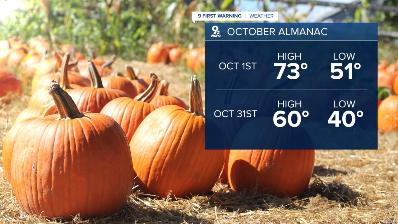
Speaking of October, it's a month of big changes for us. The temperature changes quite a bit from the start to the end of the month. Average daily highs are around 73 degrees on the 1st day of October. And by October 31st, that average daily high only comes in at 60 degrees. We also lose more than an hour of daylight in the month of October and the sun angle starts to get lower too, decreasing our heating potential.
But what kind of weather will we really see? As you know, we've been seeing drier-than-average weather and hotter-than-average weather. The new report just out today from the Climate Prediction Center keeps this trend going for the month of October.
As for Thusday and Friday, expect back-to-back partly cloudy days with highs in the low 80s. We'll stay dry again this week for Friday night football games.
TUESDAY NIGHT
Clear skies
Calm
Low: 59
WEDNESDAY
Mostly sunny
Nice
High: 80
WEDNESDAY NIGHT
Clear skies
Calm
Low: 53
9 First Warning Weather 24/7 Livestream
==========
- Interactive Radar: Track weather to your doorstep
- Sign up for severe weather email alerts
- Check latest school closings and delays
- WCPO traffic updates
- Metro bus detours and updates (or call the hotline at 513-632-7538)
- Latest power outages from Duke Energy
- Flight cancellations and delays from CVG, other U.S. airports
