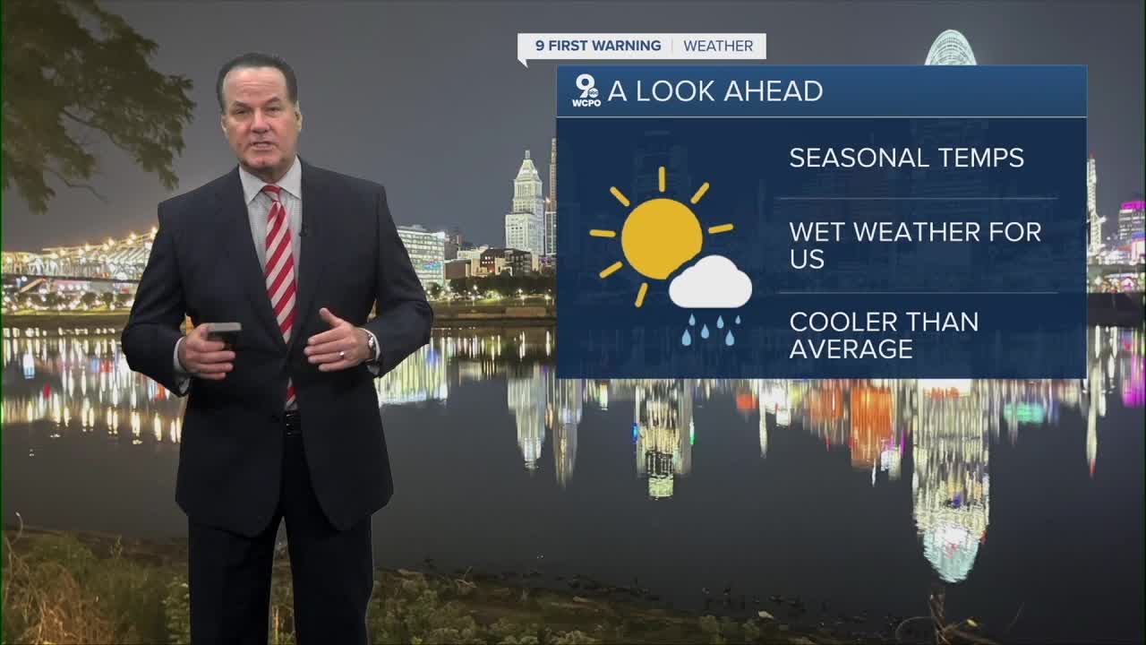


Another spectacular day around the Tri-State as afternoon highs reached the mid-70s once again on Tuesday. Cincinnati hit 75 degrees for the second straight day.

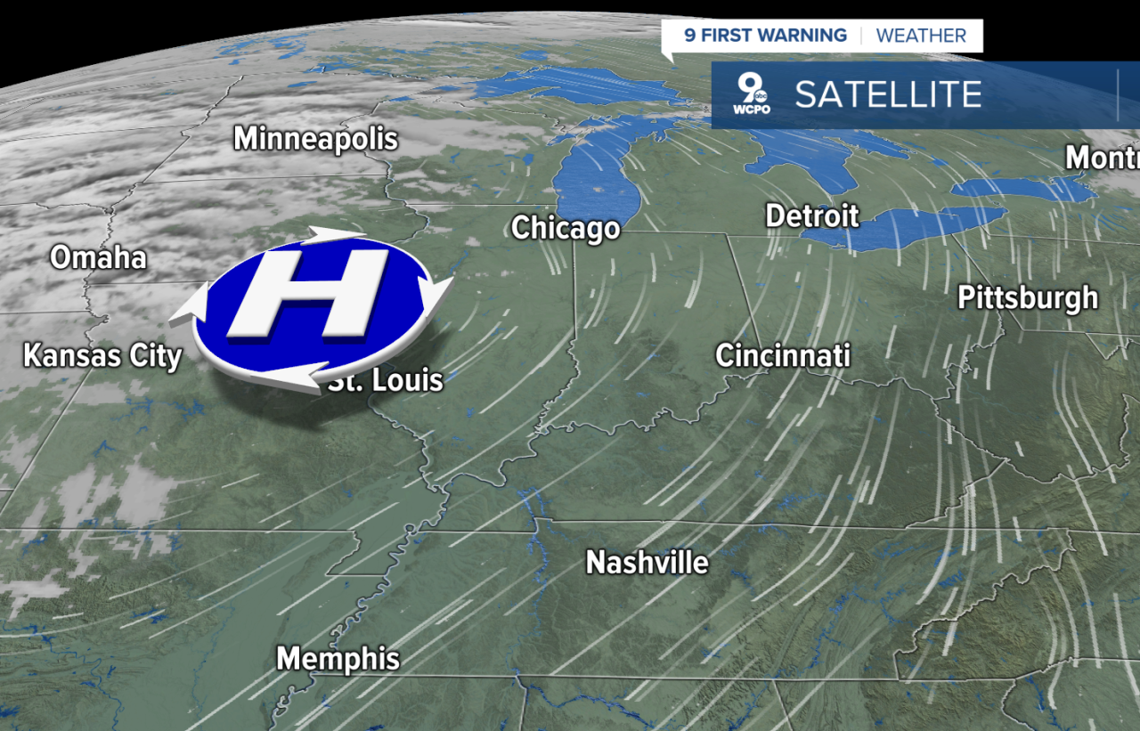
Temperatures will drop to the upper 40s by daybreak with the cooler, drier air from the north. With this wind flow, afternoon highs will struggle to make 70 degrees on Wednesday. Plus, a few clouds will sneak over the top of an area of high pressure, but it won't bring us any rain.
We are back to clear and sunny skies for Thursday and Friday, so this means the going to Paycor looks great, although some might find it chilly with temps in the 50s through the Bengals' game.

We have a weather pattern change coming this weekend. A cold front will swing through the area starting late Saturday night.
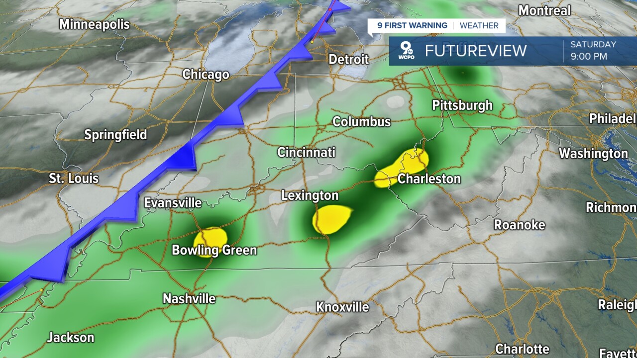
We'll see rain develop as soon as the early evening and certainly by late at night. We also have a chance for an isolated thunderstorm. The wet weather stays in play right into Sunday, with rain chances dropping during the afternoon.

By next week, cooler air will send the afternoon highs below average in the mid 60s for the afternoon highs.
OVERNIGHT
Clear sky
Mild
Low: 52
WEDNESDAY
Mostly sunny
Pleasant
High: 71
WEDNESDAY NIGHT
Few clouds
Colder
Low: 44
9 First Warning Weather 24/7 Livestream
==========
- Interactive Radar: Track weather to your doorstep
- Sign up for severe weather email alerts
- Check latest school closings and delays
- WCPO traffic updates
- Metro bus detours and updates (or call the hotline at 513-632-7538)
- Latest power outages from Duke Energy
- Flight cancellations and delays from CVG, other U.S. airports
