


After a few pop-up showers this afternoon, another round overnight is expected through early Thursday.
A cold front brings scattered showers and a few storms before sunrise, making for a wet morning commute. Rain wraps up by midday, and we’ll dry out by the evening. Highs only hit 70, which is much cooler than normal.
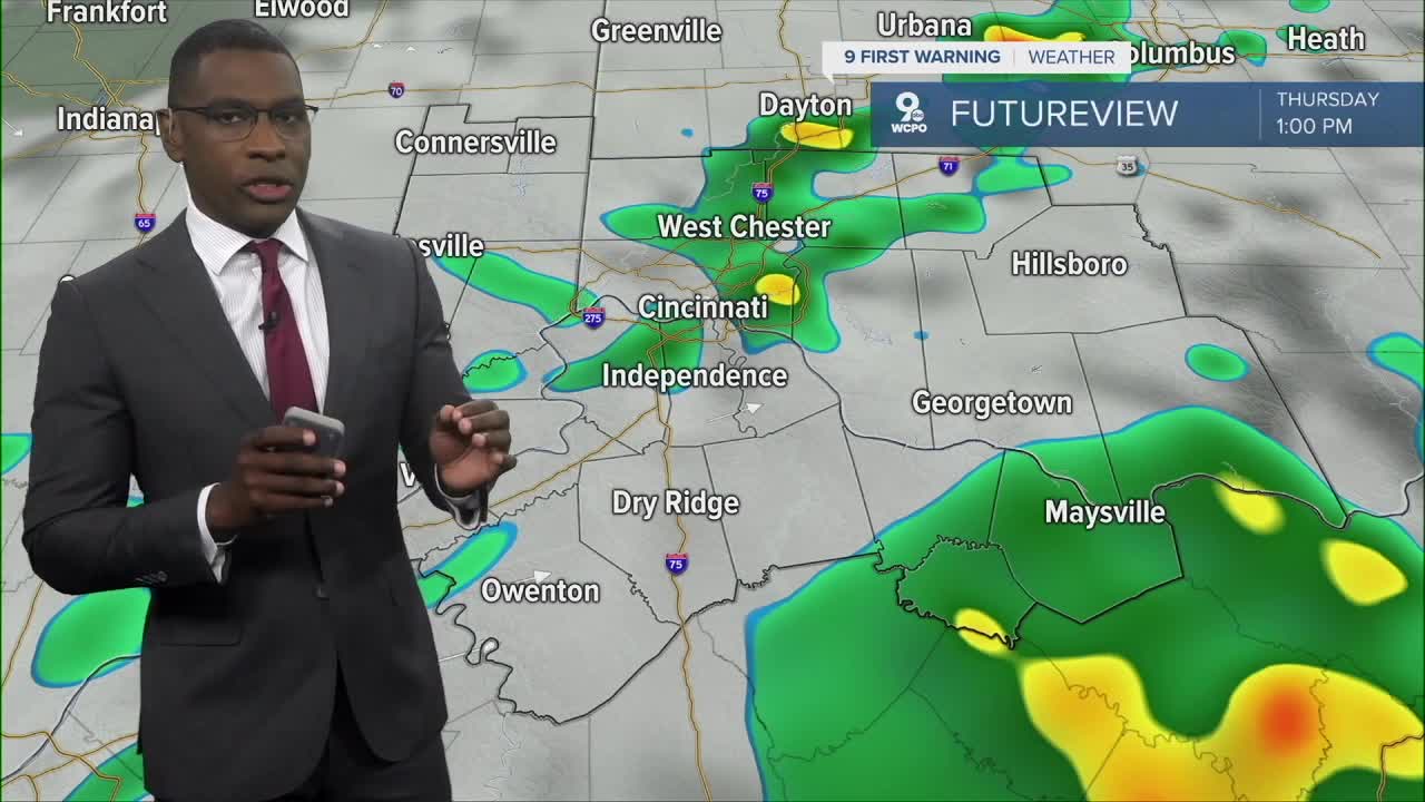
Rain chances are going up! Expect rain Thursday morning and again Friday night.
— KJ Jacobs (@KJJacobsWeather) September 3, 2025
Meanwhile, temps will bounce around highs near 70 on Thursday, then 82 Friday and cooling into the low 70s all weekend. #wcpo
BIG CHANGES AHEAD pic.twitter.com/8wSmaTLMnJ
Friday turns dry and partly cloudy with highs near 80 and a breezy southwest wind. Another cold front arrives Friday night with showers lingering into early Saturday before skies clear and temps settle near 70.
Next week is trending dry with highs in the low 70s early on, then warming near 80 by midweek.
WEDNESDAY NIGHT
Rain moves in
Overcast
Low: 59
THURSDAY
Morning showers and storms
Partly cloudy by late day
High: 70
THURSDAY NIGHT
Few clouds
Cooler
Low: 52
MONDAY
Partly cloudy
Warmer
Low: 82
9 First Warning Weather 24/7 Livestream
==========
- Interactive Radar: Track weather to your doorstep
- Sign up for severe weather email alerts
- Check latest school closings and delays
- WCPO traffic updates
- Metro bus detours and updates (or call the hotline at 513-632-7538)
- Latest power outages from Duke Energy
- Flight cancellations and delays from CVG, other U.S. airports
