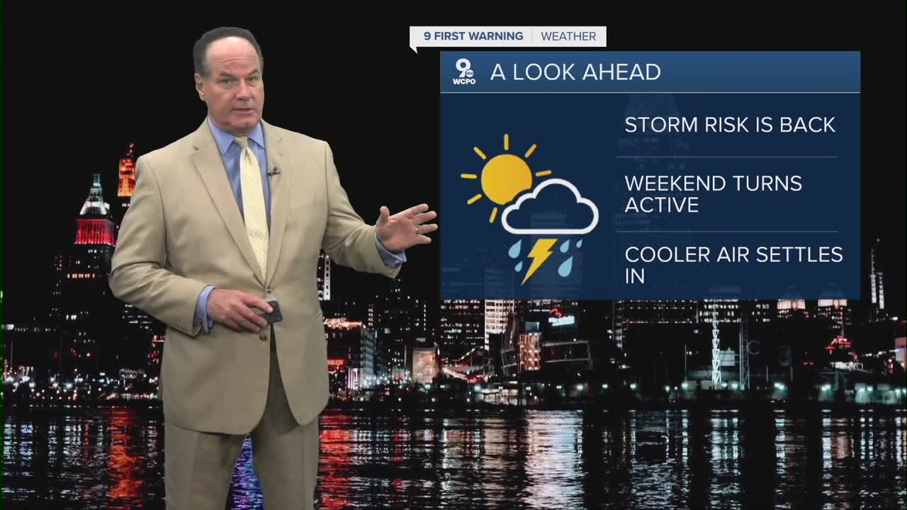


Generally, over the next few hours, it’s mostly cloudy skies, and lows will be very warm in the mid 60s. On Thursday, the forecast turns wetter, with showers likely in the morning with a chance for a thunderstorm.
Highs will stay above average in the mid to upper 70s. A front will enter from the west/northwest and produce the wet weather that will keep a chance of rain and storms popping into Thursday afternoon. The Storm Prediction Center keeps the Tri-State in a “Marginal Risk”, a category 1 out of 5 for isolated strong to severe thunderstorms with locally strong wind gusts and small hail possible.

Friday briefly quiets down with mostly sunny skies and highs back near 80 degrees. Friday night is quiet before a chance for showers to develop overnight as morning lows start warm in the low to mid 60s again.
Saturday looks unsettled again, with showers and thunderstorms also likely into the afternoon. In fact, the SPC has already labeled us as an area to watch for severe weather.

While mostly sunny, a strong cold front moves through on Sunday with cooler air and gusty, westerly winds that will keep the highs only reaching the upper 50s, which is a twenty degree drop from Saturday.
OVERNIGHT
Mostly cloudy
Slight chance
Low: 66
THURSDAY
Scattered Showers
Isolated storms
High: 78
THURSDAY NIGHT
Few Showers
Mostly cloudy
Low: 59
9 First Warning Weather 24/7 Livestream
==========
- Interactive Radar: Track weather to your doorstep
- Sign up for severe weather email alerts
- Check latest school closings and delays
- WCPO traffic updates
- Metro bus detours and updates (or call the hotline at 513-632-7538)
- Latest power outages from Duke Energy
- Flight cancellations and delays from CVG, other U.S. airports
