A second cold front will move into the Tri-State for the week and the timing is important to note as we head into Friday night football games. So let's get into the timeline and also the rest of the weekend outlook.
Friday starts with a clear sky and temperatures in the mid to upper 50s. Clouds will slowly increase during the day as temperatures rise to the low 80s. You'll notice that it feels stickier outside. Winds will also be breezy, coming in from the southwest at 10 to 20 mph.
When it comes to rain, it's a lot of waiting! While we could see a few stray showers during the day, the best chance will be after 9 p.m. and up until around midnight. And where this rain develops is important to note. This is only a storm chance to our very eastern and southeastern locations.

All that being said, I think we'll be good to go for most of our Friday night football games, but those to the southeast need to monitor the radar as we approach the end of our games.
The Storm Prediction Center has that area in a marginal to slight risk of severe storms. The main concern would be damaging wind gusts.

Spotty, light rain chances will continue overnight and will be around for Saturday morning. As we approach the noon hour tomorrow, rain will be moving out and clouds will decrease. Again, it's going to be cooler and fall-like with a high of only 70 degrees!
Sunday will be mostly sunny and ideal with a high of 72 degrees. If you are headed up to Cleveland to watch the Bengals in the season opener, it's going to be a great day for football! Temperatures will be in the mid-60s with a mostly sunny sky and a breezy northwest wind.
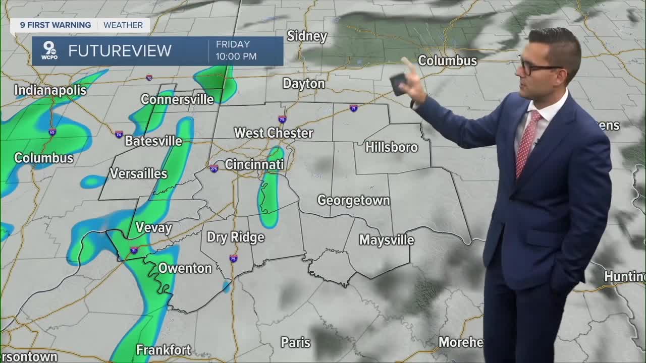
MORNING RUSH
Clear sky
Pleasant
Low: 53
FRIDAY
Mostly sunny to partly cloudy
Late day thunderstorms to the southeast
High: 82
FRIDAY NIGHT
Storms in the late evening
Spotty light showers possible overnight
Low: 56
SATURDAY
Morning light rainfall
Then partly cloudy and cooler
High: 70
SATURDAY NIGHT
Clear
Cooler
Low: 49
SUNDAY
Mostly sunny
Ideal
High: 72
9 First Warning Weather 24/7 Livestream
==========
- Interactive Radar: Track weather to your doorstep
- Sign up for severe weather email alerts
- Check latest school closings and delays
- WCPO traffic updates
- Metro bus detours and updates (or call the hotline at 513-632-7538)
- Latest power outages from Duke Energy
- Flight cancellations and delays from CVG, other U.S. airports