


It's clear in the Tri-State as temperatures will land in the mid to upper 30s by daybreak. It's been an interesting week for temperatures, as we started with a winterlike feel and are now transitioning to Spring.

While Friday starts with sunshine, we'll finish with clouds. Grey skies will build through the morning and will even give us a slight chance for a couple of sprinkles.
A weak front sweeps over the area on Saturday. As a result, highs climb to the mid to upper 60s for an unseasonably warm day. The sky will be mostly cloudy with a very slight chance for a passing shower. A weak cold front has a better chance to trigger a couple of spotty showers.

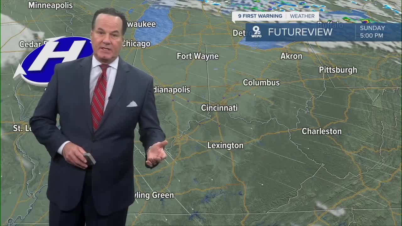
The front will drag the cloud and moisture to the east, so on Sunday, we will get back to sunshine. Highs fall back to the upper 50s to 60 degrees.
OVERNIGHT
Mostly clear
Dry
Low: 37
FRIDAY
Increasing clouds
Chance sprinkles
High: 59
FRIDAY NIGHT
Mostly cloudy
Low: 49
9 First Warning Weather 24/7 Livestream
==========
- Interactive Radar: Track weather to your doorstep
- Sign up for severe weather email alerts
- Check latest school closings and delays
- WCPO traffic updates
- Metro bus detours and updates (or call the hotline at 513-632-7538)
- Latest power outages from Duke Energy
- Flight cancellations and delays from CVG, other U.S. airports
