


After a day of clouds and showers, we continue to clear around the Tri-State. In fact, we'll wake up with clear skies, but another element jumps in!
Fog will be an issue in the morning, and where it develops, it's likely to be dense.
But it was good to see the rain, even though the new drought monitor is out and it didn't change too much. A few areas were downgraded to "dry," but everyone else stayed the same. However, an important note: the report only includes the wet weather through Tuesday this week.

The sky turns mostly clear overnight, and temperatures will cool nicely. We should drop to the mid-50s for Friday morning...again, with fog.
Friday will be a pleasant, seasonal day. Temperatures will warm to the mid to upper 70s under a mostly sunny sky. By the evening hours, temperatures will be around 70 degrees for Friday night football games.

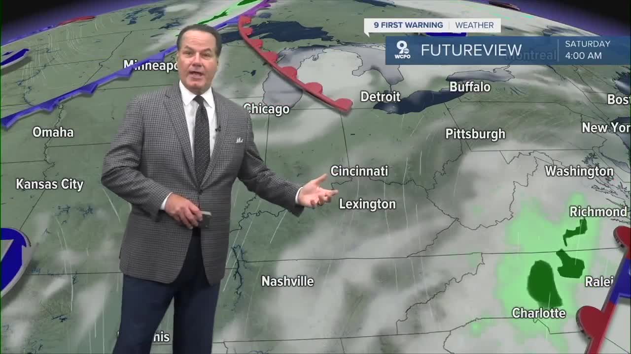
For the weekend ahead, you are good to go for any outdoor plans. Temperatures will top out in the upper 70s to low 80s with mostly sunny conditions. We are entering another dry stretch in the extended forecast.
OVERNIGHT
Gradual clearing
Patchy dense fog
Low: 56
FRIDAY
Mostly sunny
Pleasant
High: 77
FRIDAY NIGHT
Clear sky
Dry
Low: 59
9 First Warning Weather 24/7 Livestream
==========
- Interactive Radar: Track weather to your doorstep
- Sign up for severe weather email alerts
- Check latest school closings and delays
- WCPO traffic updates
- Metro bus detours and updates (or call the hotline at 513-632-7538)
- Latest power outages from Duke Energy
- Flight cancellations and delays from CVG, other U.S. airports
