

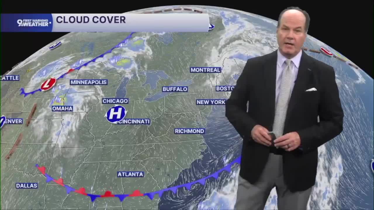


Dry weather stays with us through Friday, but there are a few changes to keep in mind. Tonight will be quiet with partly cloudy skies, light winds, and temperatures settling into the low to mid 60s. As those winds go calm overnight, patchy fog may develop toward daybreak. But it'll be a great night for a ballgame.
Then, it’s plenty of sunshine and a warmer afternoon. Highs will climb into the middle to upper 80s with light winds, making for a great finish to the workweek. Clouds will gradually increase Friday night as temperatures hold in the upper 60s, signaling a change on the way. A few showers are possible after 9 pm, but most communities stay dry.

The weekend turns much more unsettled as a slow-moving weather system brings several rounds of showers and thunderstorms beginning Saturday. Rain becomes likely during the day Saturday and continues into Saturday night, with some storms capable of producing heavy downpours. Rainfall could total around an inch or more in some locations by the time the weekend is over, with locally even higher amounts where storms linger. Take a look below for the 48hr rainfall totals.

An isolated strong to severe storm also cannot be ruled out on Saturday, so it's a good idea to stay weather aware if you have outdoor plans. Sunday won't be a washout, but expect additional rounds of showers and thunderstorms, especially during the afternoon and evening. Clouds and rain will also keep weekend temperatures cooler, with highs mainly in the upper 70s to low 80s.
Looking ahead, there is still some uncertainty on exactly when this system moves away, so off-and-on rain chances may linger into the middle of next week while temperatures gradually warm back into the middle and upper 80s.
OVERNIGHT
Mostly clear
Mild
Low: 65
FRIDAY
Mostly sunny to partly cloudy
Late evening rain
High: 86
FRIDAY NIGHT
Scattered showers
Overcast
Low: 67
9 First Warning Weather 24/7 Livestream
==========
- Interactive Radar: Track weather to your doorstep
- Sign up for severe weather email alerts
- Check latest school closings and delays
- WCPO traffic updates
- Metro bus detours and updates (or call the hotline at 513-632-7538)
- Latest power outages from Duke Energy
- Flight cancellations and delays from CVG, other U.S. airports
