



Clouds, clouds and more clouds!
We are looking at another dreary day here in the Tri-State where temperatures rise very slowly. We'll start the day at 60 degrees and warm to 69 degrees.
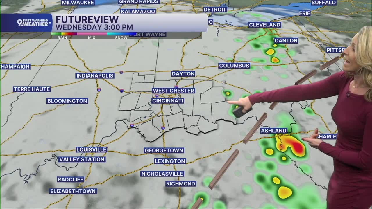
There's a surface trough sitting out to the east today. The boundary acts like a lifting area and it will be a zone where isolated showers are possible in the afternoon and evening hours. Locally, this would only mean a rain chance in places in Adams, Brown, Mason and Highland County. If you do get rain, don't expect the activity to move much, producing locally heavy rainfall.
The sky stays overcast again tonight and temperatures cool to 59 degrees.
Thursday will start with an overcast sky but with time, clouds should decrease. We should be looking at a partly cloudy sky by the evening drive with highs around 70 degrees. More dry air is moving in too.
The overnight hours will turn chilly as we finish the workweek and head into the weekend. Lows will dip into the low 50s and upper 40s Friday through Monday morning.
MORNING RUSH
Overcast
Mist and drizzle
Low: 60
WEDNESDAY
Cloudy sky, cool
Isolated afternoon storms
High: 69
WEDNESDAY NIGHT
Cloudy sky
Cool
Low: 59
THURSDAY
Partly cloudy
Pleasant
High: 70
THURSDAY NIGHT
Few clouds
Chilly
Low: 52
9 First Warning Weather 24/7 Livestream
==========
- Interactive Radar: Track weather to your doorstep
- Sign up for severe weather email alerts
- Check latest school closings and delays
- WCPO traffic updates
- Metro bus detours and updates (or call the hotline at 513-632-7538)
- Latest power outages from Duke Energy
- Flight cancellations and delays from CVG, other U.S. airports
