


At the moment, we have plenty of clouds across the area. However, clearing skies begin shortly, and we'll wake up with sunshine and temperatures that aren't as cold. It'll still be frosty with morning lows near freezing in many communities.
Temperatures start to rise as west winds continue at 10 to 20 mph. Highs will improve to the low to mid-50s with a mostly sunny sky. It'll feel a lot better than the 36-degree high temperature that was 20 degrees below average on Monday afternoon.
This return to "seasonal" weather will be around through mid-week. Highs will be in the mid-50s again on Thursday.
By Friday, high pressure will swing the winds out of the southwest. This will really push the temperatures higher. It'll feel almost Springlike as afternoon highs reach the mid to upper 60s on Saturday.
Saturday night will bring a substantial chance for showers after about 9 pm and continue into early Sunday. I will say...analysing the forecast models, the timing is still subject to change as different models are not showing much unity right now.

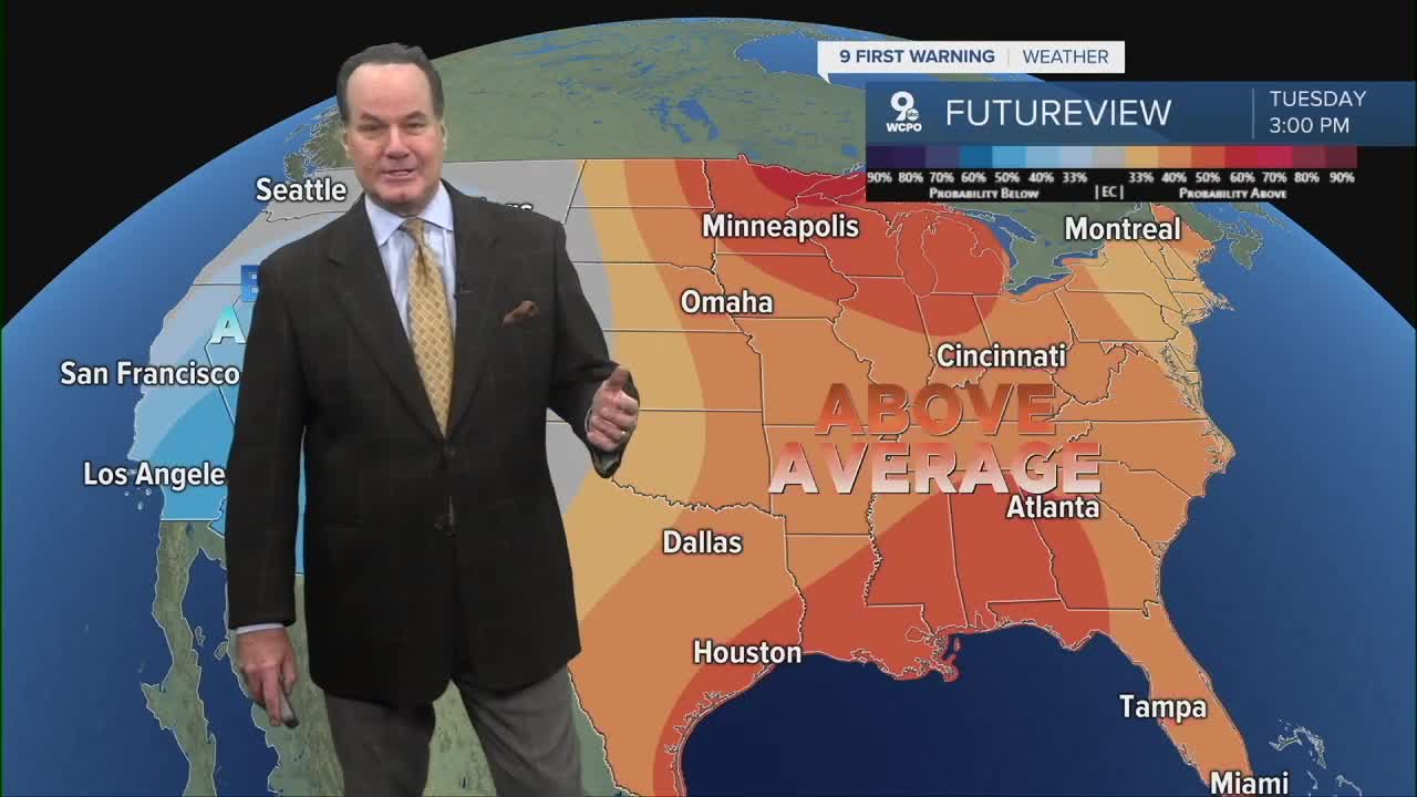
In the big picture...The Climate Prediction Center has us in an "above average" precipitation and temperature pattern over the next two weeks.
While it'll be drying out for the Tri-State on Sunday, it does appear that the Bengals might face some showers in Pittsburgh.

TONIGHT
Clouds early
Then mostly clear
Low: 34
WEDNESDAY
Mostly sunny
Milder
High: 53
WEDNESDAY NIGHT
Few clouds
Seasonal
Low: 34
9 First Warning Weather 24/7 Livestream
==========
- Interactive Radar: Track weather to your doorstep
- Sign up for severe weather email alerts
- Check latest school closings and delays
- WCPO traffic updates
- Metro bus detours and updates (or call the hotline at 513-632-7538)
- Latest power outages from Duke Energy
- Flight cancellations and delays from CVG, other U.S. airports
