


An unusually frigid chill descends upon the Tri-State overnight, heralding an unexpectedly cold morning for the season. Temperatures will plummet far below seasonal norms, sending shivers through both flora and fauna alike. At 7am, morning lows brings a wintry feel in the low to mid 20s! We even have a slight chance for flurries!
Also with the mercury dipping to sub-freezing levels, tender plants stand vulnerable to frost, their delicate blooms and leaves at risk of wilting under the frosty embrace of the morning.
During Thursday, the frigid air refuses to relent, casting a wintry pall over the day. The morning sun will break through the cold start, but offering little help from chilly conditions later. Despite the calendar's insistence that it's spring, tomorrow promises to feel more like a revisit to winter with a crispness in the air. Afternoon highs will only manage the mid 40s.
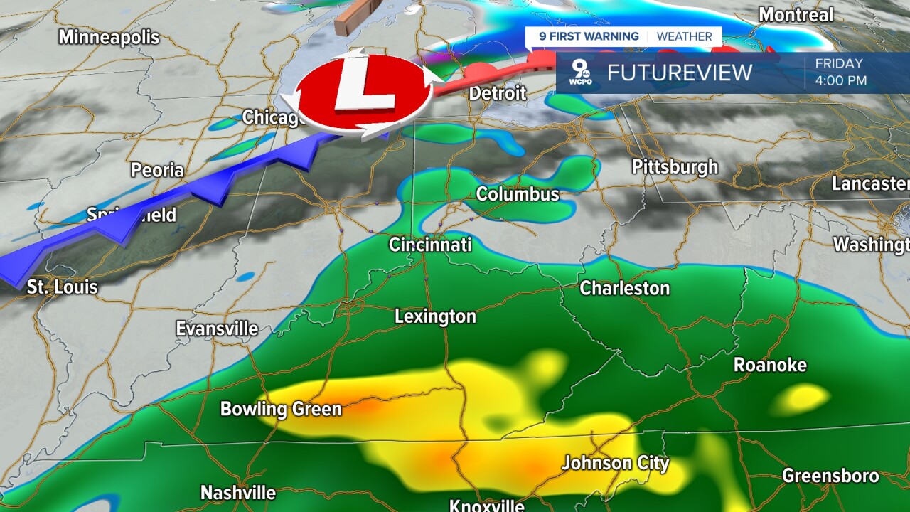
The next rain maker arrives Friday. This slow-moving area of low pressure will scatter rain during the day, most likely in the afternoon hours and into the evening. It will be much warmer on Friday, with highs into the mid to upper 50s all thanks to a south wind at 10 mph.
Good news for the weekend ahead, it looks dry. Saturday will start with some clouds but quickly become mostly sunny. Saturday does look breezy with winds from the north at 15 to 30 mph, so highs will only reach near 50 degrees. The afternoon warmth of Spring returns on Sunday as temperatures climb to the upper 50s.
TONIGHT
Mostly clear & calm
Frost possible
Low: 25
THURSDAY
Partly cloudy
Cooler
High: 47
THURSDAY NIGHT
Mostly cloudy
Chilly
Low: 31
9 First Warning Weather 24/7 Livestream
==========
- Interactive Radar: Track weather to your doorstep
- Sign up for severe weather email alerts
- Check latest school closings and delays
- WCPO traffic updates
- Metro bus detours and updates (or call the hotline at 513-632-7538)
- Latest power outages from Duke Energy
- Flight cancellations and delays from CVG, other U.S. airports
