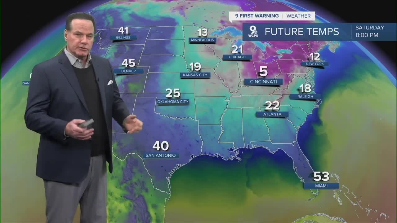


A COLD WEATHER ADVSIORY & EXTREME COLD WARNING is out for the Tri-State tonight. Counties shaded in dark blue have the likelihood of seeing wind chills down to -25. Wind chills still drop to -10° to -15° below zero.
Subzero temperatures are possible into Saturday morning. Added to that - winds gusting close to 25 mph at times during the day on Saturday could put wind chills around 0° to -10 for much of the day. On Sunday, it won't be much better as highs start in the single digits with wind chills to -10° as the winds diminish. Highs will get to the low 20s. The cold weather fatigue continues this month.

Next Week, we do have a couple of chances of seeing some snow showers or light snow on Monday and Wednesday. We'll keep you posted.
TONIGHT
Mostly cloudy with flurries
Colder
Low: -2
TOMORROW
Partly Cloudy
Yup, colder
High: 15
TOMORROW NIGHT
Fair
Cold
High 2
SUNDAY
Mostly Sunny
High: 22
9 First Warning Weather 24/7 Livestream
==========
- Interactive Radar: Track weather to your doorstep
- Sign up for severe weather email alerts
- Check latest school closings and delays
- WCPO traffic updates
- Metro bus detours and updates (or call the hotline at 513-632-7538)
- Latest power outages from Duke Energy
- Flight cancellations and delays from CVG, other U.S. airports
