




It will be cool and comfortable heading into Saturday morning as we drop into the upper 50s and low 60s.
Saturday afternoon will be partly cloudy with highs near 80 across the Tri-State. Most of us stay dry, but a few isolated showers will pop up by the end of the afternoon.
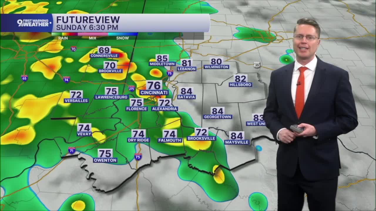
We'll keep a small chance for rain into Sunday morning to start Father's Day, but plan on a lot of dry time in the afternoon to celebrate dad outside. Highs will be in the low 80s. By late afternoon and into the evening, our next batch of widespread showers and storms will move into the Tri-State from the west. A few of these storms could be strong to severe. The rain will also be heavy enough at times to bring more areas of flash flooding.

The Storm Prediction Center has placed the entire area under a Marginal Risk for severe weather Sunday, which is only a 1 of 5 on the severe weather threat scale.

The showers and storms will continue into Monday morning, but the second half of the day looks much drier with upper 70s.
The upper 70s continue Tuesday with a mix of sun and clouds. We have a better chance of hitting 80 in Cincinnati on Wednesday.
A weak cold front will bring a small chance for rain late Wednesday and into early Thursday, and it drops us back down into the upper 70s Thursday afternoon.
The low 80s return into the following weekend.
OVERNIGHT
Partly cloudy
Comfy
Low: 58
SATURDAY
Partly cloudy
Isolated afternoon rain
High: 80
SATURDAY NIGHT
Mostly cloudy
Isolated rain
Low: 60
SUNDAY
Partly cloudy
Rain and storms late
High: 82
9 First Warning Weather 24/7 Livestream
==========
- Interactive Radar: Track weather to your doorstep
- Sign up for severe weather email alerts
- Check latest school closings and delays
- WCPO traffic updates
- Metro bus detours and updates (or call the hotline at 513-632-7538)
- Latest power outages from Duke Energy
- Flight cancellations and delays from CVG, other U.S. airports
