



Quiet weather continues for the morning rush across the Tri-State with mainly clear skies, light winds, and comfortable temperatures settling into the middle 60s. However, the weather begins to turn a little more active, and the humidity will be rising around here.

Wednesday night turns partly cloudy with mild temperatures in the upper 60s. Thursday starts with a mix of sunshine and warm conditions before another chance for showers and thunderstorms develops during the afternoon and continues into Thursday night. While many hours will still be dry, any storm could produce locally heavier rainfall.
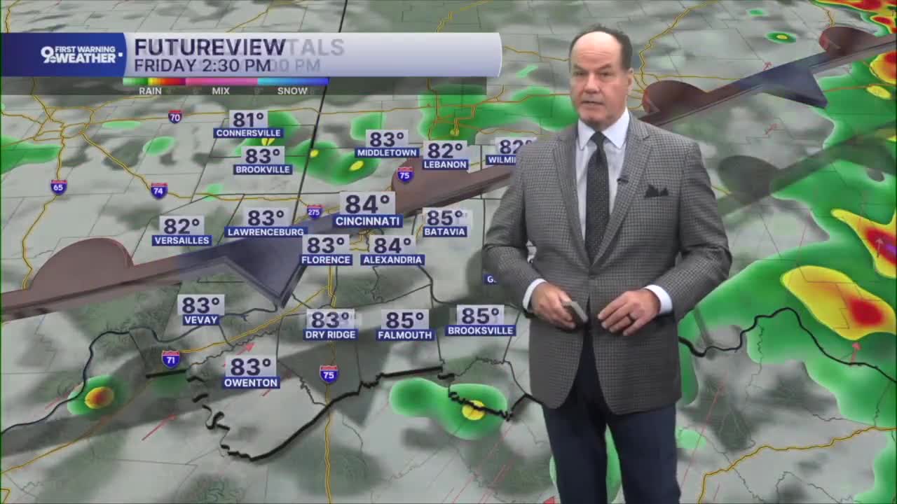
The overall pattern becomes more unsettled heading into Friday and lasting through the weekend as a stalled front nearby serves as the focus for repeated rounds of showers and thunderstorms. Friday currently appears to bring the greatest chance for widespread rain and storms, with additional opportunities returning Saturday, mainly during the afternoon and early evening.

One thing to keep in mind, because storms may move over the same areas, some locations could pick up heavier rainfall, raising the potential for localized flooding concerns if the rain repeats. Temperatures remain seasonably warm through the stretch, generally in the mid 80s during the afternoons and the upper 60s at night.
By Sunday, the forecast trends drier once again with mostly sunny skies returning and highs close to 90 degrees.
OVERNIGHT
Clear sky
Mild
Low: 65
WEDNESDAY
Mostly sunny
Isolated storms east
High: 88
WEDNESDAY NIGHT
Few clouds
Muggy
Low: 68
9 First Warning Weather 24/7 Livestream
==========
- Interactive Radar: Track weather to your doorstep
- Sign up for severe weather email alerts
- Check latest school closings and delays
- WCPO traffic updates
- Metro bus detours and updates (or call the hotline at 513-632-7538)
- Latest power outages from Duke Energy
- Flight cancellations and delays from CVG, other U.S. airports
